
South Hebron, AM
South Hebron Hills Thursday 29.7.04 AM Observers: Tzafrira, Leah, Elena (reporting) We left Shoket at 7:00. Just before the Shim’a CP -where the soldiers were friendly – we saw new dirt barriers along one side of the road. (No doubt a result of the efforts of the bulldozer, escorted by a hummer, seen at work a couple of days ago) . At 7:20 we saw a Palestinian tender driving along route 60 (the “apartheid” road) – a BP jeep overtook it- ie saw it- but took no action. 7:25 Dura –Al Fawwar: the crossing is open. No soldiers on the ground.7:28 Beit Haggai junction: a BP jeep had stopped a Palestinian bus for checking- but it was allowed to drive on just as we approached it.Before reaching Sheep’s Crossing we saw a BP jeep escorting – from the rear – a Palestinian motorcyclist who was driving very slowly on route 60. 7:30 Sheep’s Crossing: Open with no soldiers in sight but almost no one using it. A hummer and a BP jeep were seen patrolling route 60 beyond Sheep’s Crossing.The “Humanitarian” CP at the turn off onto route 35-open and unmanned on the ground (possibly soldiers in the pillbox). 7:40 Halhul Bridge: the approach to it from route 35 is closed as usual but the traffic on the bridge is moving freely. On route 60 between Hebron and Halhul there are a very large number of banners on both sides of the road advertising “A night in the Hills of Hebron” at 18:00 next Wednesday 4.8.04 at the Ziv junction. A rabbi Alon and a Mr Razael are named on the banners with a telephone number to call. A settlers’ parade is planned. 7:50 On route 356 a cart and donkey was bowling along. The Palestinian driver either had a special permit or was taking a chance. 7:53 Ziv junction is open. The dirt barriers along the edge of the road leading up to it have been raised higher.Yakinton CP: no Palestinians there; the soldiers have at last got a bit of shade (a ramshackle net).8:05 tracks of a tractor crisscrossing the road visible just after Sussiya and newly-made dirt barriers along the sides of the road.8:15 At the junction to Mitzpeh Ashael a military jeep was parked on the road facing Hebron. We returned to Shoket at 8:25.
Hebron
See all reports for this place-
According to Wye Plantation Accords (1997), Hebron is divided in two: H1 is under Palestinian Authority control, H2 is under Israeli control. In Hebron there are 170,000 Palestinian citizens, 60,000 of them in H2. Between the two areas are permanent checkpoints, manned at all hours, preventing Palestinian movement between them and controlling passage of permit holders such as teachers and schoolchildren. Some 800 Jews live in Avraham Avinu Quarter and Tel Rumeida, on Givat HaAvot and in the wholesale market.
Checkpoints observed in H2:
- Bet Hameriva CP- manned with a pillbox
- Kapisha quarter CP (the northern side of Zion axis) - manned with a pillbox
- The 160 turn CP (the southern side of Zion axis) - manned with a pillbox
- Avraham Avinu quarter - watch station
- The pharmacy CP - checking inside a caravan with a magnometer
- Tarpat (1929) CP - checking inside a caravan with a magnometer
- Tel Rumeida CP - guarding station
- Beit Hadassah CP - guarding station
Three checkpoints around the Tomb of the Patriarchs
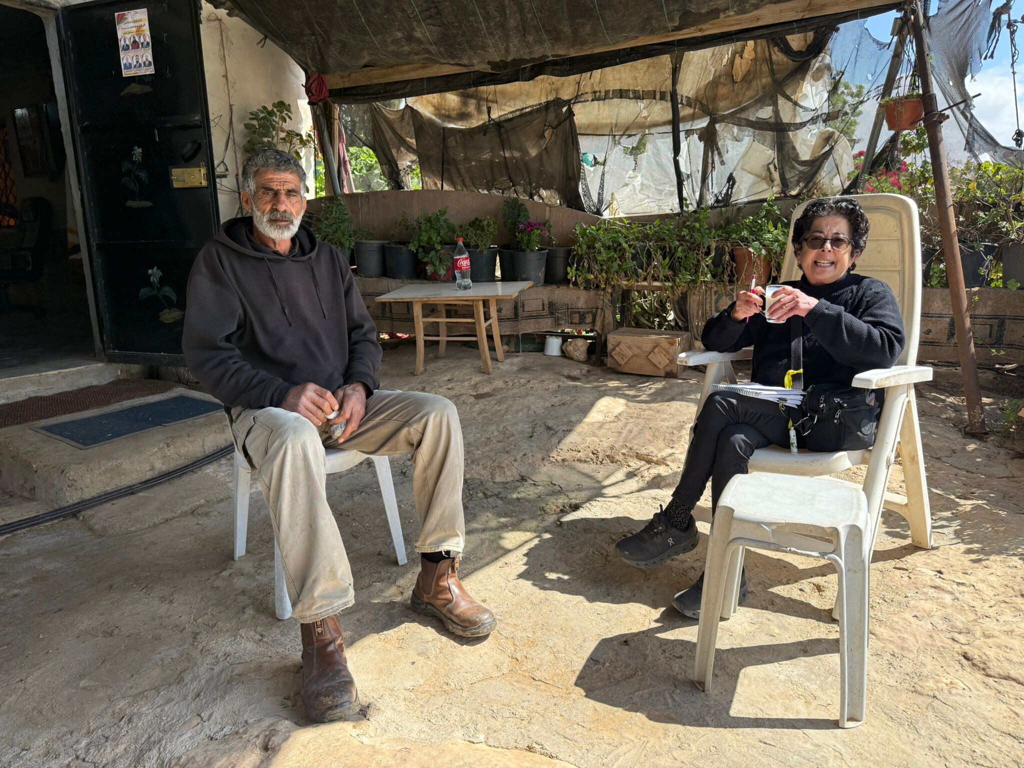
 Raya YeorDec-18-2025Hebron - Yusri Jaber and part of his family
-
South Hebron Hills
See all reports for this place-
South Hebron Hills
South Hebron Hills is a large area in the West Bank's southern part.
Yatta is a major city in this area: right in the border zone between the fertile region of Hebron and its surroundings and the desert of the Hebron Hills. Yatta has about 64,000 inhabitants.
The surrounding villages are called Masafer Yatta (Yatta's daughter villages). Their inhabitants subsist on livestock and agriculture. Agriculture is possible only in small plots, especially near streams. Most of the area consists of rocky terraces.Since the beginning of the 1980s, many settlements have been established on the agricultural land cultivated by the Palestinians in the South Hebron Hills region: Carmel, Maon, Susia, Masadot Yehuda, Othniel, and more. Since the settlements were established and Palestinians cultivation areas have been reduced; the residents of the South Hebron Hills have been suffering from harassment by the settlers. Attempts to evict and demolish houses have continued, along with withholding water and electricity. The military and police usually refrain from intervening in violent incidents between settlers and Palestinians do not enforce the law when it comes to the investigation of extensive violent Jewish settlers. The harassment in the South Hebron Hills includes attacking and attempting to burn residential tents, harassing dogs, harming herds, and preventing access to pastures.
There are several checkpoints in the South Hebron Hills, on Routes 317 and 60. In most of them, no military presence is apparent, but rather an array of pillboxes monitor the villages. Roadblocks are frequently set up according to the settlers and the army's needs. These are located at the Zif Junction, the Dura-al Fawwar crossing, and the Sheep Junction at the southern entrance to Hebron.
Updated April 2022
 Muhammad D.Apr-21-2026Daphna with Azzam in Susiya
-