
South Hebron Hills - an agricultural machine in Area C? Confiscated
To our great surprise there were no soldiers on road 60 at the intersections except for Dura-el Fuwwar. Also at El Fawwar on our way back there were no soldiers.
Posts are being built for soldiers at the entrance to Hebron in the direction of Bani Naim. The occupation is using cement barriers.
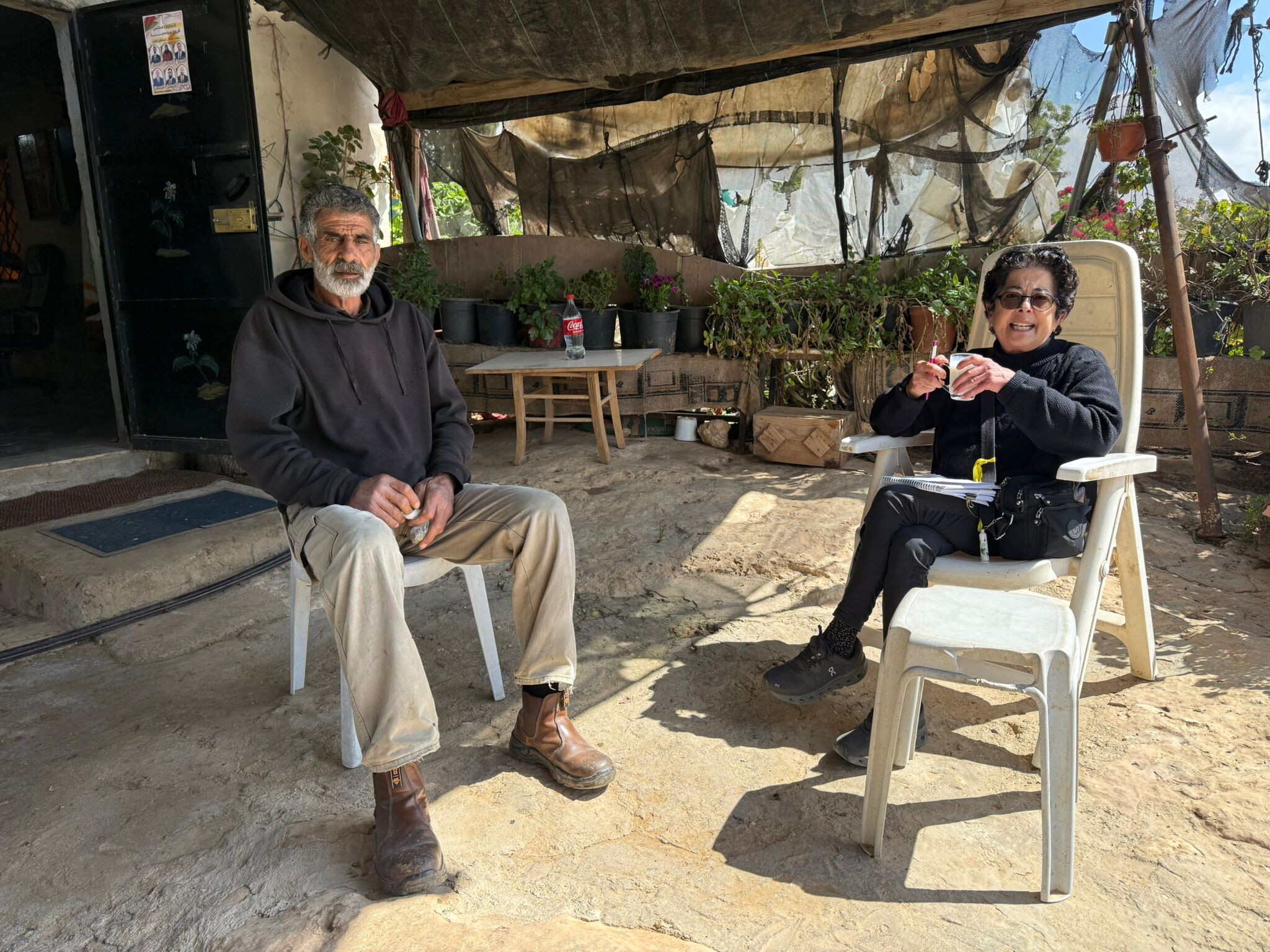
The story of S. who is being accused and does not know what he is being accused of:
His attempts to reach the judicial authorities and purge himself of an accusation unknown to him symbolizes the embarrassment and helplessness of the person under occupation. S. is the brother of our friend, B. of the Zion Route. He makes a living from the agricultural tools which are in his possession. On Thursday these were confiscated by the civil administration. He had been hired by a landowner located between the Sheep Junction and Yatta. The Civil Administration thought and still thinks that the lands are located in Area C and are considered state lands.
We cleared this with Dror Etkes and it turns out that indeed this is the case, and all that remains is to give S. telephone numbers of lawyers. At the Etzion DCO, to which they took the tools in trucks, they did not answer him. Nor did they allow him inside to talk to anyone when he got there.
Hopefully the Rabbis for Human Rights will be able to help him. We just did the connection. The bureaucracy of the occupation raises the issue every time anew. They are not transparent to the system, but they are dirty and you have to somehow wipe them off the map and and every way is grist to the mill.
Pictured below: One of the notices which has been left on the ground.
Under the House of Contention this is how things are carried……from the apartheid road to the Zion route
The soldiers’ post which guards the settlers of the House of Rachel and Leah….this is what every Hebrew mother should know.
The cement barriers have been taken down and not the soldiers can stand here….and this is just the beginning.
True evil.
Dura Al-Fawwar Junction
See all reports for this place-
Junction on Route 60: west - the town of El Dura, east - the Al Fawwar refugee camp. There is a manned pillbox at the junction. From time to time the army sets up flying checkpoints at the entrance to El Fawwar and Al Dura. Al-Fawwar is a large refugee camp (7,000 inhabitants in 2007) established in 1949 to accommodate Palestinian refugees from Be'er Sheva and Beit Jubrin and environs. There are many incidents of stone-throwing. In the vicinity of the pillbox there are excellent agricultural areas, Farmers set up stalls adjacent to the plots close to the road. In recent months the civil administration has set up dirt embankments thereby blocking access to the stalls, and making it impossible for the farmers to sell their vegetables. Updated April 2021, Michal T.
-
Hakvasim (sheep) Junction
See all reports for this place-
One of the roadblocks (earthworks, rocks, concrete blocks or iron gates) that prevent transit of vehicles to Route 60 in the southern West Bank and block the southern entrance to Hebron. A manned pillbox supervises the place.
-
Hebron
See all reports for this place-
According to Wye Plantation Accords (1997), Hebron is divided in two: H1 is under Palestinian Authority control, H2 is under Israeli control. In Hebron there are 170,000 Palestinian citizens, 60,000 of them in H2. Between the two areas are permanent checkpoints, manned at all hours, preventing Palestinian movement between them and controlling passage of permit holders such as teachers and schoolchildren. Some 800 Jews live in Avraham Avinu Quarter and Tel Rumeida, on Givat HaAvot and in the wholesale market.
Checkpoints observed in H2:
- Bet Hameriva CP- manned with a pillbox
- Kapisha quarter CP (the northern side of Zion axis) - manned with a pillbox
- The 160 turn CP (the southern side of Zion axis) - manned with a pillbox
- Avraham Avinu quarter - watch station
- The pharmacy CP - checking inside a caravan with a magnometer
- Tarpat (1929) CP - checking inside a caravan with a magnometer
- Tel Rumeida CP - guarding station
- Beit Hadassah CP - guarding station
Three checkpoints around the Tomb of the Patriarchs
 Raya YeorDec-18-2025Hebron - Yusri Jaber and part of his family
-
South Hebron Hills
See all reports for this place-
South Hebron Hills
South Hebron Hills is a large area in the West Bank's southern part.
Yatta is a major city in this area: right in the border zone between the fertile region of Hebron and its surroundings and the desert of the Hebron Hills. Yatta has about 64,000 inhabitants.
The surrounding villages are called Masafer Yatta (Yatta's daughter villages). Their inhabitants subsist on livestock and agriculture. Agriculture is possible only in small plots, especially near streams. Most of the area consists of rocky terraces.Since the beginning of the 1980s, many settlements have been established on the agricultural land cultivated by the Palestinians in the South Hebron Hills region: Carmel, Maon, Susia, Masadot Yehuda, Othniel, and more. Since the settlements were established and Palestinians cultivation areas have been reduced; the residents of the South Hebron Hills have been suffering from harassment by the settlers. Attempts to evict and demolish houses have continued, along with withholding water and electricity. The military and police usually refrain from intervening in violent incidents between settlers and Palestinians do not enforce the law when it comes to the investigation of extensive violent Jewish settlers. The harassment in the South Hebron Hills includes attacking and attempting to burn residential tents, harassing dogs, harming herds, and preventing access to pastures.
There are several checkpoints in the South Hebron Hills, on Routes 317 and 60. In most of them, no military presence is apparent, but rather an array of pillboxes monitor the villages. Roadblocks are frequently set up according to the settlers and the army's needs. These are located at the Zif Junction, the Dura-al Fawwar crossing, and the Sheep Junction at the southern entrance to Hebron.
Updated April 2022
 Muhammad D.Apr-21-2026Daphna with Azzam in Susiya
-