
South Hebron Hills – entrances to the villages are blocked

It is impossible not to notice the parking at the checkpoint, which is usually busy on both sides. No Palestinians have crossed since October 7.
Route 60 from the Meiter checkpoint, to the Meiter intersection (there is a fork between Route 60 and Route 317), very few cars, and those driven by settlers mainly.
Muhammad asks to show me the block in the Shima pool (a waterhole in front of Shavim on Highway 60). We turn to the left, and indeed there is an earthen embankment and next to it the sheep carcasses that are thrown there routinely by the settlers of Havat Yehuda, Elyashiv Nahum.
The smell is unbearable, and so is the sight.
Across the street, Samu’ and the entrance to it is blocked by a yellow gate.
I notice two spots not far away, where Israeli flags are flying on a pole, to show who is in control of the area.
Seeing a camera, a police jeep pulls up, and a nice policewoman is interested in my health, and if everything is okay. I replied that I was taking pictures of the view, and they continued on their way.
We arrived in Amir, the village where Salman’s family lives.
Samia is between Shima and Othniel, on Route 60.
Looking from the family house, across the road, Samu’. The permanent entrance through which we reach them is blocked by a pile of dirt. Salman, who knew about our arrival in advance, apologized and said that he could not leave Samu’ (where he went shopping).
Two of his sons welcome us.
They say that as early as October 7, the day the war broke out, the army set up checkpoints in the village, and so in all the villages and cities in the region. In order to purchase food and basic supplies, they must cross Route 60, (remember that this is a main road, loaded with trucks and cars).
One of the boys told us that on Friday they went to pray at the mosque in Samu’. A military car spotted them and fired at them. Miraculously nothing happened. They immediately ran back to their home.
We continued north towards Fawwar Junction. At the entrance to Dahariya on highway 60, shortly after the Othniel settlement, there is a checkpoint and a Palestinian vehicle cannot enter.
It is important to note that entering Dahariya from the Ramadin area, which is close to the Meitar checkpoint, is possible.
The southern entrance to the village of Abda is blocked by an earth embankment. The northern entrance to the village is blocked by a yellow barrier.
The village of Fawwar is blocked off, and in the square near the pillbox is an Israeli flag.
The two positions, sometimes occupied by soldiers, are not manned, but the Israeli flag flies over each of them.
The nearby gas station is not active.
In conclusion, everything is closed to vehicles, and it is also very difficult to get from place to place on foot. Israeli flags are scattered so that they can see and be seen.
The face of the occupation in the days of war.
Dura Al-Fawwar Junction
See all reports for this place-
Junction on Route 60: west - the town of El Dura, east - the Al Fawwar refugee camp. There is a manned pillbox at the junction. From time to time the army sets up flying checkpoints at the entrance to El Fawwar and Al Dura. Al-Fawwar is a large refugee camp (7,000 inhabitants in 2007) established in 1949 to accommodate Palestinian refugees from Be'er Sheva and Beit Jubrin and environs. There are many incidents of stone-throwing. In the vicinity of the pillbox there are excellent agricultural areas, Farmers set up stalls adjacent to the plots close to the road. In recent months the civil administration has set up dirt embankments thereby blocking access to the stalls, and making it impossible for the farmers to sell their vegetables. Updated April 2021, Michal T.
-
Meitar checkpoint / Sansana
See all reports for this place-
Meitar Checkpoint / Sansana The checkpoint is located on the Green Line and serves as a border crossing between Israel and the West Bank. It is managed by the Border Crossing Authority of the Defense Ministry. It is comprised of sections for the transfer of goods as well as a vehicle checkpoint (intended for holders of blue identity cards, foreign nationals or diplomats and international organizations). Passing of Palestinians is prohibited, except for those with entry permits to Israel. Palestinians are permitted to cross on foot only. The crossing has a DCO / DCL / DCL / DCL (District Coordination Office), a customs unit, supervision, and a police unit. In the last year, a breach has been opened in the fence, not far from the crossing. This breach is known to all, including the army. There does not appear to be any interest in blocking it, probably as it permits needed Palestinian workers without the bureaucratic permits to get to work in Israel. Food stalls and a parking area economy have been created, but incidents of violent abuse by border police have also been recorded. Updated April 2022
-
South Hebron Hills
See all reports for this place-
South Hebron Hills
South Hebron Hills is a large area in the West Bank's southern part.
Yatta is a major city in this area: right in the border zone between the fertile region of Hebron and its surroundings and the desert of the Hebron Hills. Yatta has about 64,000 inhabitants.
The surrounding villages are called Masafer Yatta (Yatta's daughter villages). Their inhabitants subsist on livestock and agriculture. Agriculture is possible only in small plots, especially near streams. Most of the area consists of rocky terraces.Since the beginning of the 1980s, many settlements have been established on the agricultural land cultivated by the Palestinians in the South Hebron Hills region: Carmel, Maon, Susia, Masadot Yehuda, Othniel, and more. Since the settlements were established and Palestinians cultivation areas have been reduced; the residents of the South Hebron Hills have been suffering from harassment by the settlers. Attempts to evict and demolish houses have continued, along with withholding water and electricity. The military and police usually refrain from intervening in violent incidents between settlers and Palestinians do not enforce the law when it comes to the investigation of extensive violent Jewish settlers. The harassment in the South Hebron Hills includes attacking and attempting to burn residential tents, harassing dogs, harming herds, and preventing access to pastures.
There are several checkpoints in the South Hebron Hills, on Routes 317 and 60. In most of them, no military presence is apparent, but rather an array of pillboxes monitor the villages. Roadblocks are frequently set up according to the settlers and the army's needs. These are located at the Zif Junction, the Dura-al Fawwar crossing, and the Sheep Junction at the southern entrance to Hebron.
Updated April 2022
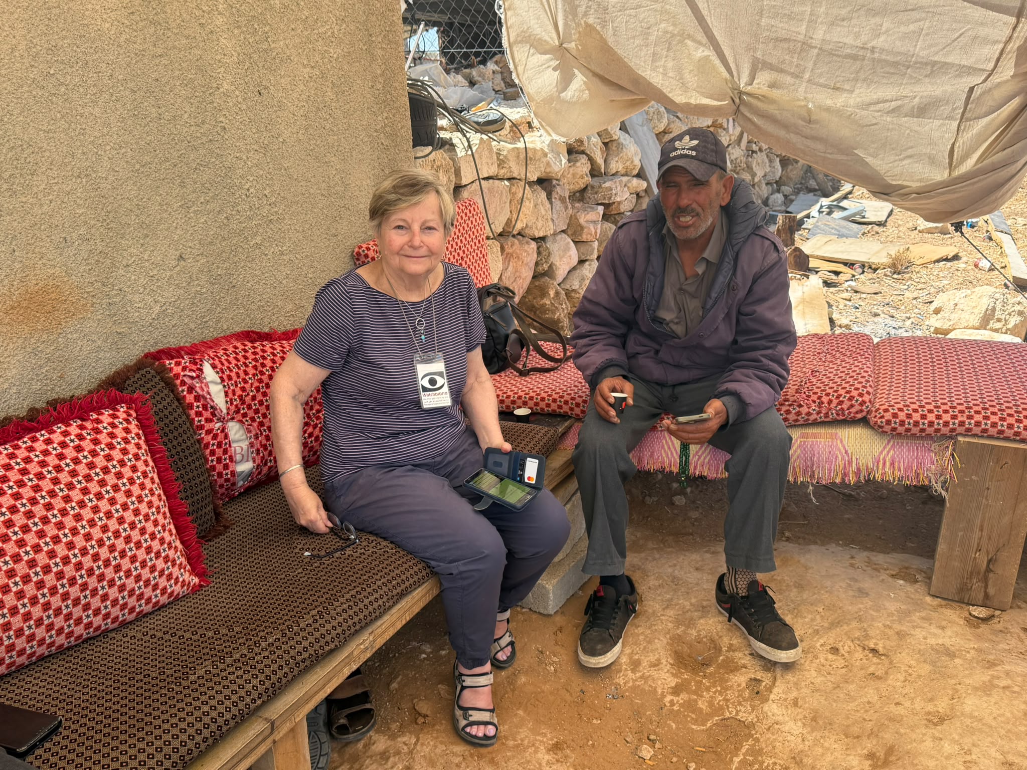 Muhammad D.Jul-12-2026Smadar with Taleb on duty at Qawawis
-