
Tours in Villages: Deir Ballut, Kufr alDik, Sun 24.2.13, Morning
En route on Highway 5 we see accelerated construction at the Ariel industrial zone, Barkan.
Kafr ad Diq
We met with J.A., the new village head, who welcomed us warmly. He has no complaints with respect to permits and the seam zone. But about a week ago they began seeing surveyors’ marks in their agricultural lands. They’re afraid Israel has its eye on a hill overlooking the area and the settlements of Fadu’el and Aley Zahav. The area has olive groves which are intensively cultivated by the Palestinians even though they’re in Area C. We drove there with him; a pleasant spring day, pastoral, amazing flowers. Alongside an agricultural track we see red numbers on boulders. We photograph some of them for documentation, to find out what they are and to give them to Dror Etkes. We met a farmer on the way building a stone wall to keep out goats. He describes the route of the numbers cutting across the fields and up the aforementioned hill. On the way back to the village, J. shows us two buildings in the final stages of construction which received "stop work" orders two days ago because they lack required permits, even though they’re on privately owned land. But, unfortunately, they’re on the border between Area C and the Palestinian Authority. We take photocopies of the "stop work" orders to find out what will happen to the buildings, without making any great promises.
On our way to Deir Ballut the infrastructure work at Aley Zahav and Fadu’el and the expansion of the settlements is obvious.
Deir Ballut
The head of the village isn’t there; J.H., the young village engineer, meets us instead. She lives in Biddya, studied architecture at Al Najah University in Nablus. Deir Ballut has 8000 dunams of agricultural land beyond the fence, but because they were used for growing non-irrigated crops like wheat and barley their owners aren’t entitled to agricultural permits, so the agricultural gate in the fence doesn’t open to give them access to their lands. In 2004 and 2006 the villagers tried to return to those lands, planting olive trees which were uprooted. Since then they’ve stopped trying. The village also suffers from the army’s surprise visits and from arrests.
[Local atmosphere – photo of a pond formed by rain at the entrance to Deir Ballut.]
In the past, A’adel, the DCO head in Qalqiliya, had been relatively cooperative and demonstrated good will, but recently he doesn’t respond when we try to contact him, claiming that solutions have to come from the Palestinian DCO and the Israeli appeals committees.
We’re not sure how to continue our activities in the seam zone, because of this stiffer attitude as well. One thing we’re considering is becoming more involved in cases of people denied permits, encouraging and accompanying Palestinians appearing before appeals committees, and/or keeping a record of applications for the coming olive harvest like we did, in part, in the past. We’ll be glad to hear additional ideas.
There were many disturbances reported on the West Bank the morning we went to the villages, many incidents and violent confrontations because of how inmates are treated and the death of the prisoner Arafat Jaradat. The radio also reported rioting in Huwwara
. To our amazement, when we passed there on our way back the entire area, including Za’tara junction, Huwwara and the crossing, was open and calm. What could it mean?
Deir Ballut
See all reports for this place-
An internal checkpoint on Road 446 at the entrance to the village of Deir Ballut and near the settlements there, Alei Zahav and Peduel. Partially staffed, vehicles are inspected at random.
-
Huwwara
See all reports for this place-
The Huwwara checkpoint is an internal checkpoint south of the city of Nablus, at the intersection of Roads 60 and 5077 (between the settlements of Bracha and Itamar). This checkpoint was one of the four permanent checkpoints that closed on Nablus (Beit Furik and Awarta checkpoints to the east and the Beit Iba checkpoint to the west). It was a pedestrian-only barrier. As MachsomWatch volunteers, we watched therre since 2001 two shifts a day - morning and noon, the thousands of Palestinians leaving Nablus and waiting for hours in queues to reach anywhere else in the West Bank, from the other side of the checkpoint the destination could only be reached by public transport. In early June 2009, as part of the easing of Palestinian traffic in the West Bank, the checkpoint was opened to vehicular traffic. The passage was free, with occasional military presence in the guard tower. Also, there were vehicle inspections from time to time. Since the massacre on 7.10.2023, the checkpoint has been closed to Palestinians.
On February 26, 2023, about 400 settlers attacked the town's residents for 5 hours and set fire to property, such as houses and cars. Disturbances occurred in response to a shooting of two Jewish residents of Har Bracha by a Palestinian Terrorist. The soldiers stationed in the town did not prevent the arson and rescued Palestinian families from their homes only after they were set on fire. No one was punished and Finance Minister Smotrich stated that "the State of Israel should wipe out Hawara." Left and center organizations organized solidarity demonstrations and support actions for the residents of Hawara.Hawara continued to be in the headlines in all the months that followed: more pogroms by the settlers, attacks by Palestinians and a massive presence of the army in the town. It amounted to a de facto curfew of commerce and life in the center of the city. On October 5, 2023, MK Zvi established a Sukkah in the center of Hawara and hundreds of settlers backed the army blocked the main road and held prayers in the heart of the town all night and the next day. On Saturday, October 7, 23 The "Swords of Iron" war began with an attack by Hamas on settlements surrounding Gaza in the face of a poor presence of the IDF. Much criticism has been made of the withdrawal of military forces from the area surrounding Gaza and their placement in the West Bank, and in the Hawara and Samaria region in particular, as a shield for the settlers who were taking over and rioting.
On November 12, 2023, the first section of the Hawara bypass road intended for Israeli traffic only was opened. In this way, the settlers can bypass the road that goes through the center of Hawara, which is the main artery for traffic from the Nablus area to Ramallah and the south of the West Bank. For the construction of the road, the Civil Administration expropriated 406 dunams of private land belonging to Palestinians from the nearby villages. The settlers are not satisfied with this at the moment, and demand to also travel through Hawara itself in order to demonstrate presence and control.(updated November 2023)
.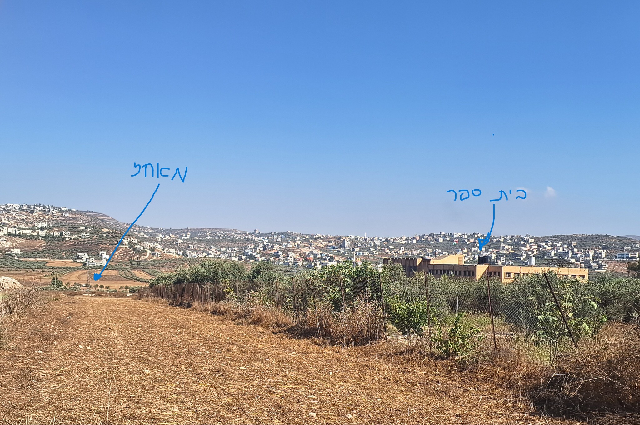 Ronit Dahan-RamatiAug-24-2026Huwara: The school on the outskirts of town and an outpost hidden among the trees
-
Kufr a-Dik
See all reports for this place-
Kufr a-Dik This is a Palestinian village in the Salfit district of the West Bank, located 8 kilometers east of the Green Line. The village population numbers 4,494 (as of 2007). 14.5% of the village were included in Area B (supposedly under Palestinian civil control) and 86% categorized as Area C – meaning both civil and military Israeli control, which severely affects the state of the village and its inhabitants. Over the years Israel has robbed 1,448 dunams from the village’s farmlands for the sake of building the settler-colonies of Penuel, Alei Zahav, Yoezer, Har Alei Zahav, and the industrial zone next to Penuel. Lands were also sequestered for the paving of Road 446 whose length stretches over 4 kilometers and includes a buffer zone 75-meters wide on both its sides. Following the paving of the road, the village has suffered not only landgrab but home demolitions and the destruction of water wells as well. Rates of unemployment in both the private and the public sectors reach 60%. In the years 2010-2013 creative activity was held by members of MachsomWatch and women of the village. For further information: http://vprofile.arij.org/salfit/pdfs/vprofile/Kafr%20ad%20Dik_tp_en.pdf
-
Za'tara (Tapuah)
See all reports for this place-
Za'tara (Tapuah) Za'tara is an internal checkpoint in the heart of the West Bank, at the intersection of Road 60 and Road 505 (Trans-Samaria), east of the Tapuah settlement. This checkpoint is the "border" marked by the IDF between the north and south of the West Bank, in accordance with the policy of separation between the two parts of the West Bank that has been in place since December 2005. At the Za'tara checkpoint, there are separate routes for Israelis and Palestinians. In the route for Israelis, there are no inspections and the route for Palestinians inspects. The queue lengthens and shortens suits. The checkpoint is open 24 hours a day. The checkpoint is partially staffed and the people who pass through it are checked at random.
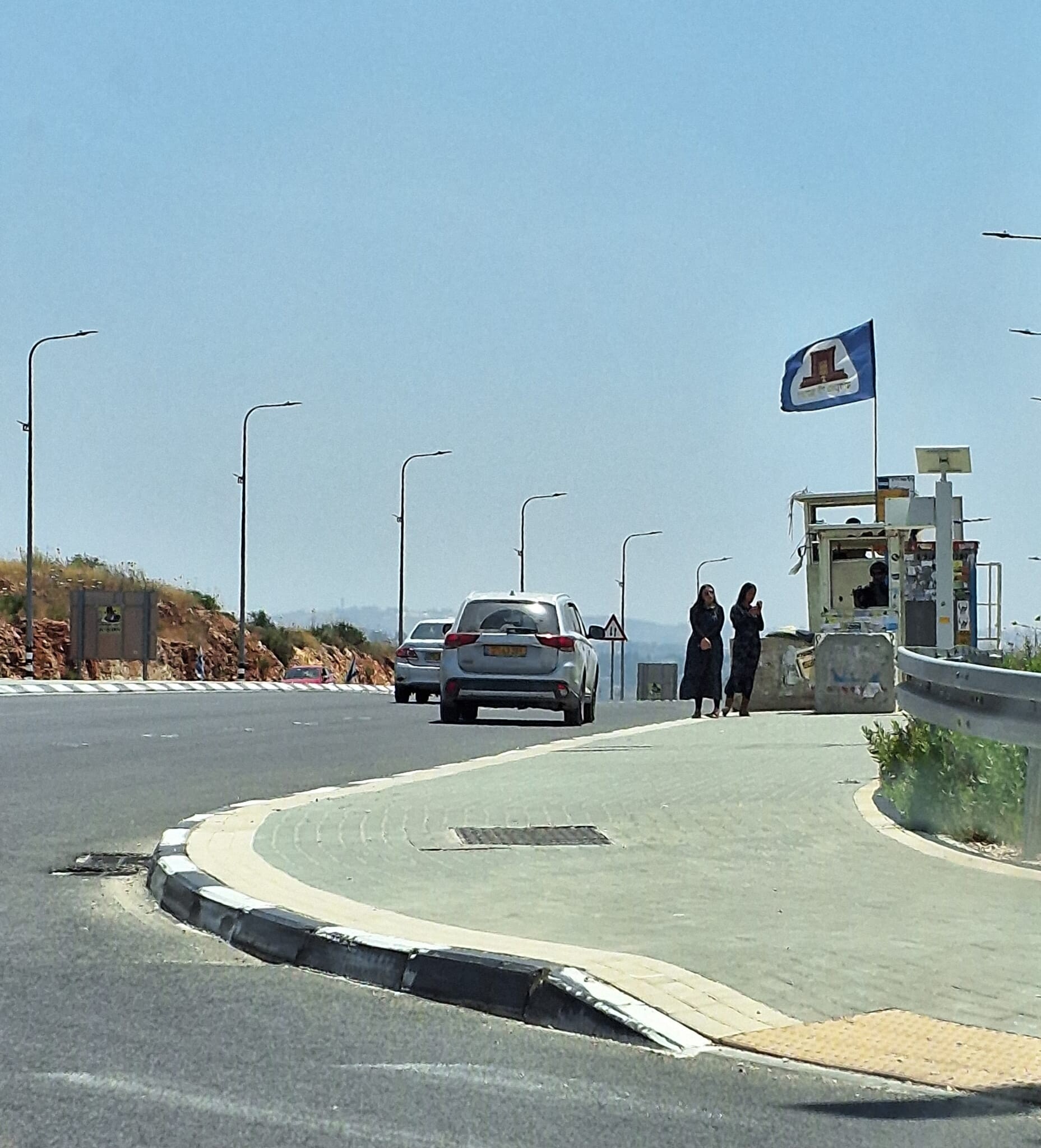 Ronit Dahan-RamatiJun-9-2026Za'atara (Tapuach Junction). The Temple Flag Above a Station
-
