
Visiting Rahwe, South Hebron Hills


On the advice of our Muhammad, we went to an area which we have not yet visited and explored.
Route 325, the road leading to the settlement of Tene Omarim, which is located a few kilometres from the Meitar checkpoint. The settlement was established in 1983, and has about 1000 residents.
A little before Tene Omarim is the village of Rahwe and we turn right on road 325 even before the entrance to Tene Omarim. Already at the entrance to the dirt road, the Israeli flag was on a pole, as we document in all the reports from now on. This is since October 7, 2023.
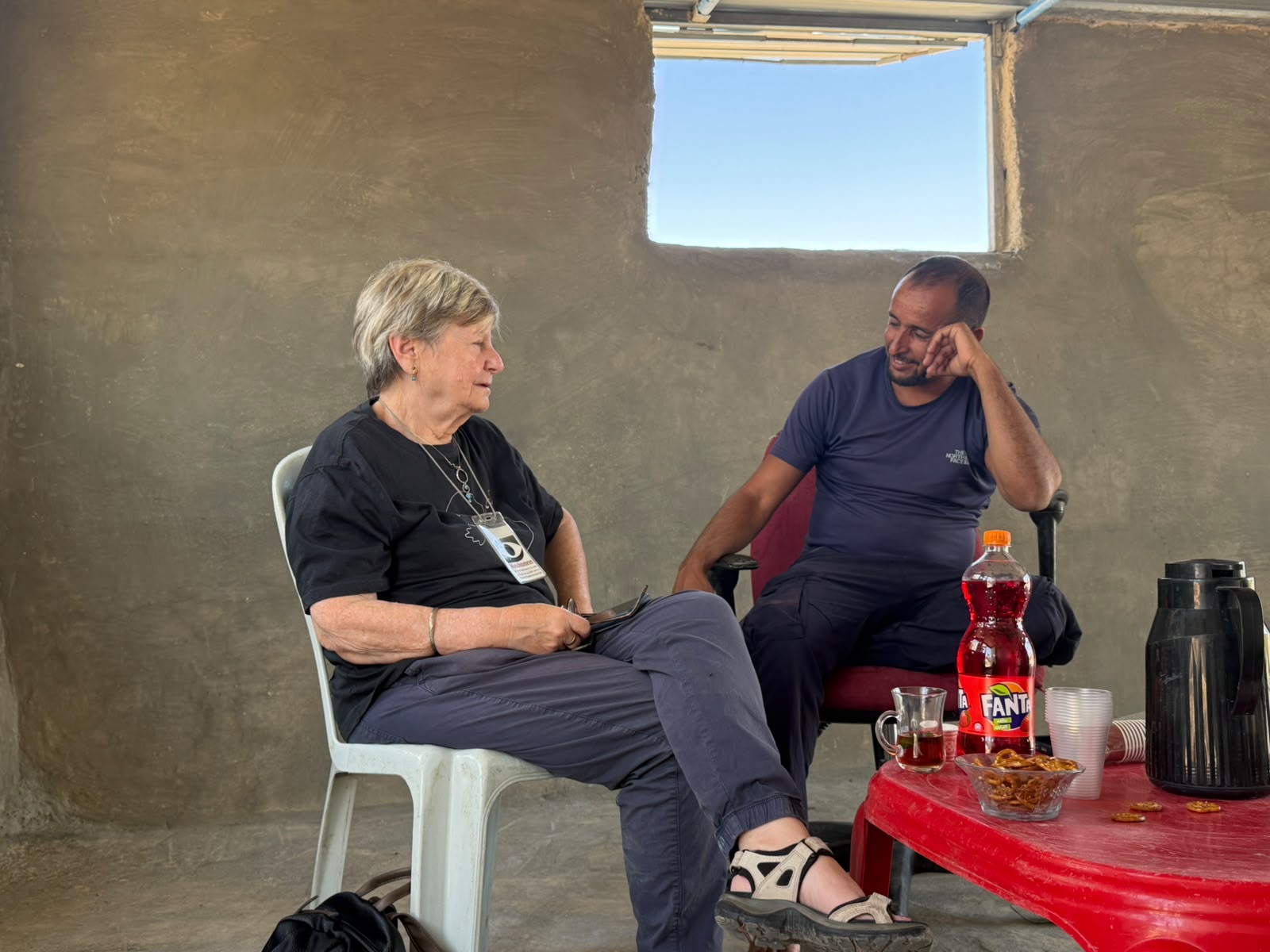
We are greeted by Majdi Altake. After introducing ourselves and MachsomWatch, Majdi welcomes us. He comes out of a small one-room building, where he gives a zoom lesson to his students in Hebron. Due to access and the closure, he cannot get to Hebron. He now has no salary, and normally, before the war, he earned about 70% of what his salary should be. The Palestinian Authority has no budget.
The village has 35 families, most of them work in Dahariya and its surroundings. The village is at the foot of the settlement, Tene Omarim. To our question whether there is violence and harassment from the residents of Tene Omarim, he says unequivocally that there is not and there has not been any.
The army patrols the area, but does not take any actions.
Not far from there, north of the village, there are 2 farms that we see from highway 60. The Mor farm and the Avraham farm. Settlers from the farms forbid the shepherds of the village from reaching the grazing area at the foot of Tene Omarim, and they are forced to turn in the opposite direction. They have no choice. In a small room is his sister-in-law with her 2 young children and Majdi’s baby. We gave them games and clothes, and they were very happy.
We continue to meet the flags along the dirt road as we will continue to another family according to Majdi’s guidance. We continue along the Hebron stream (which more resembles a sewage canal) north, about a kilometre, to the Abu Sharah family. This little village is also called Rahwe.
Here we were already welcomed by the entire extended family in Shig (the place where the family gathers and receives guests). The parents and their adult and younger children. Six families live there.
One of the sons is married to an Israeli Bedouin, a resident of the Sayed tribe of Hura, and she makes the conversation very easy as she speaks Hebrew. They make a living mainly from the milk produced from their herd of sheep. Here, too, every few meters there is a pole with the Israeli flag, to mark who owns the place.
The two farms that Majdi mentioned, east of Tene Omarim, are very close to the Abu Sharah territory, and they are the ones who put up the flags, and do not allow them to come with the flock to graze as they wish. A week ago, settlers cut the water pipe and now they have to use the wells they have nearby. At night they do not move from the place for fear that the settlers will invade their territory. Some of them have houses in Dahariya, but it is difficult to pass through the nearby checkpoint, so they rarely go there.
The children sometimes study in Zoom, because of difficulties of reaching the school.
They also note the increase in difficulties and harassment since October 7th.
What is clear, black on white, is that on the pretext that these are state lands, the settlers received thousands of dunams to take over the area. A well-known fact.
Meitar checkpoint / Sansana
See all reports for this place-
Meitar Checkpoint / Sansana The checkpoint is located on the Green Line and serves as a border crossing between Israel and the West Bank. It is managed by the Border Crossing Authority of the Defense Ministry. It is comprised of sections for the transfer of goods as well as a vehicle checkpoint (intended for holders of blue identity cards, foreign nationals or diplomats and international organizations). Passing of Palestinians is prohibited, except for those with entry permits to Israel. Palestinians are permitted to cross on foot only. The crossing has a DCO / DCL / DCL / DCL (District Coordination Office), a customs unit, supervision, and a police unit. In the last year, a breach has been opened in the fence, not far from the crossing. This breach is known to all, including the army. There does not appear to be any interest in blocking it, probably as it permits needed Palestinian workers without the bureaucratic permits to get to work in Israel. Food stalls and a parking area economy have been created, but incidents of violent abuse by border police have also been recorded. Updated April 2022
-
South Hebron Hills
See all reports for this place-
South Hebron Hills
South Hebron Hills is a large area in the West Bank's southern part.
Yatta is a major city in this area: right in the border zone between the fertile region of Hebron and its surroundings and the desert of the Hebron Hills. Yatta has about 64,000 inhabitants.
The surrounding villages are called Masafer Yatta (Yatta's daughter villages). Their inhabitants subsist on livestock and agriculture. Agriculture is possible only in small plots, especially near streams. Most of the area consists of rocky terraces.Since the beginning of the 1980s, many settlements have been established on the agricultural land cultivated by the Palestinians in the South Hebron Hills region: Carmel, Maon, Susia, Masadot Yehuda, Othniel, and more. Since the settlements were established and Palestinians cultivation areas have been reduced; the residents of the South Hebron Hills have been suffering from harassment by the settlers. Attempts to evict and demolish houses have continued, along with withholding water and electricity. The military and police usually refrain from intervening in violent incidents between settlers and Palestinians do not enforce the law when it comes to the investigation of extensive violent Jewish settlers. The harassment in the South Hebron Hills includes attacking and attempting to burn residential tents, harassing dogs, harming herds, and preventing access to pastures.
There are several checkpoints in the South Hebron Hills, on Routes 317 and 60. In most of them, no military presence is apparent, but rather an array of pillboxes monitor the villages. Roadblocks are frequently set up according to the settlers and the army's needs. These are located at the Zif Junction, the Dura-al Fawwar crossing, and the Sheep Junction at the southern entrance to Hebron.
Updated April 2022
 Muhammad D.Oct-10-2026Smadar with Najeh in Umm Qusa
-
