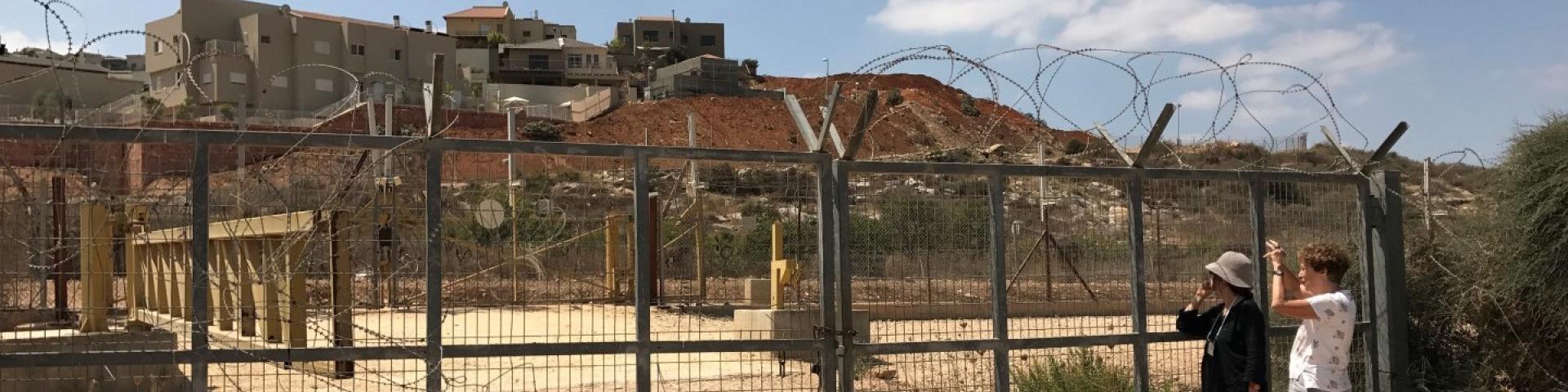
This is a Palestinian located north-west of the settler-colony town of Ariel, 18 kilometers south of the city of Nablus. It numbers 3, 206 inhabitants, as of 2007. 42% of the village lands lie in Area B, and 58% in Area C. In 1978, some hundreds of dunams of the village’s farmland was sequestered in order to found the settler-colony of Ariel – in total 5,184 dunams from the Palestinian communities of Salfit, Iscaqa, Marda, and Kifl Harith. Dozens of square kilometers were also confiscated for paving road no. 5 as well as road 505 and their buffer zones, and the Israeli electricity company’s power station. Over the years the village has suffered harassment by sometimes-armed settler-colonists, even casualties. In 1968 the army’s rabbinate ruled the maqam site Nabi Yanoun (sanctified grave of the Prophet Yanoun) is in fact the tomb of Joshua, Son of Nun. Another structure in the village, named Nabi Tul Kifl by the Palestinians, has been identified by the Israeli authorities as to the tomb of Caleb, Son of Yefuneh. These sites are located in the heart of the village, near the mosque, and at times of Jewish religious festivities and pilgrimages, the center of the village is illuminated by projectors and thousands of Jews arrive, protected by hundreds of Israeli soldiers. During such a period, a night curfew is imposed on the village and the villagers are forced to stay shut inside their homes.