Ramalla vicinity Album
Photographer: Irit Segoli
Aug-17-2022
Aug-17-2022

Photographer: Irit Segoli
Aug-17-2022
Aug-17-2022
Photographer: Irit Segoli
Aug-17-2022
Aug-17-2022
Photographer: Irit Segoli
Aug-17-2022
Aug-17-2022

Photographer: Irit Segoli
Aug-17-2022
On the right a green and blue equipment box is visible. A similar box is found at each spring, displaying the slogan “In a pleasing manner,” and the logo of the Benjamin Region Council.
Aug-17-2022
On the right a green and blue equipment box is visible. A similar box is found at each spring, displaying the slogan “In a pleasing manner,” and the logo of the Benjamin Region Council.
Photographer: Irit Segoli
Aug-17-2022
Aug-17-2022
Photographer: Nurit Popper
Jul-13-2022
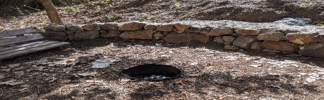
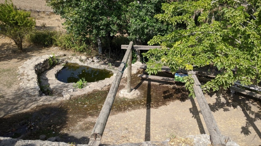
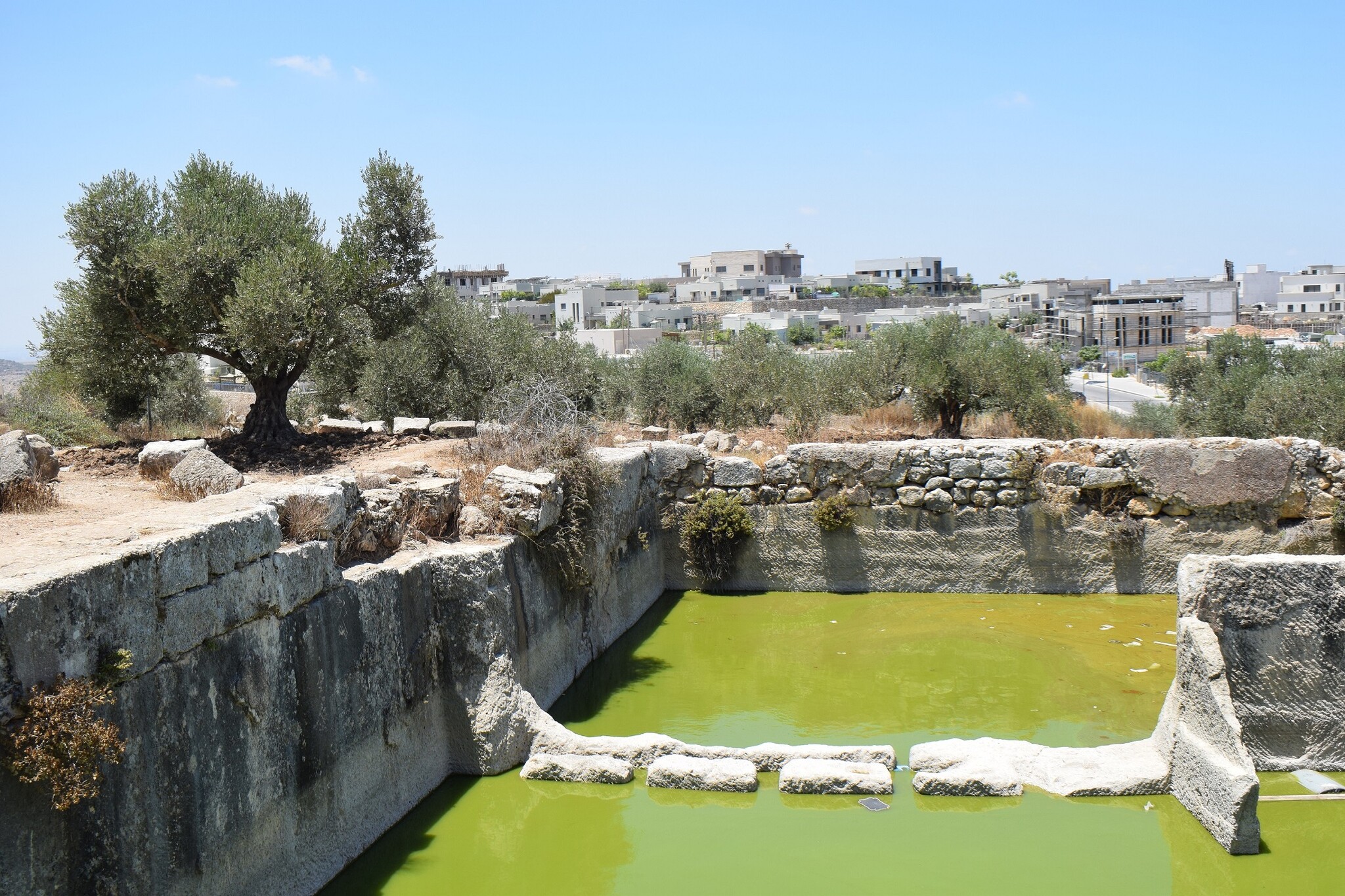
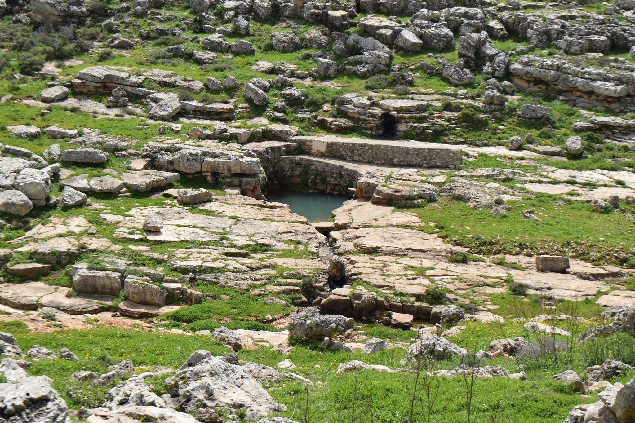
The antiquities area is neglected and the water in the hewn cisterns has been overtaken by algae and mold
Jul-13-2022
The antiquities area is neglected and the water in the hewn cisterns has been overtaken by algae and mold
Photographer: Nurit Popper
Jul-13-2022
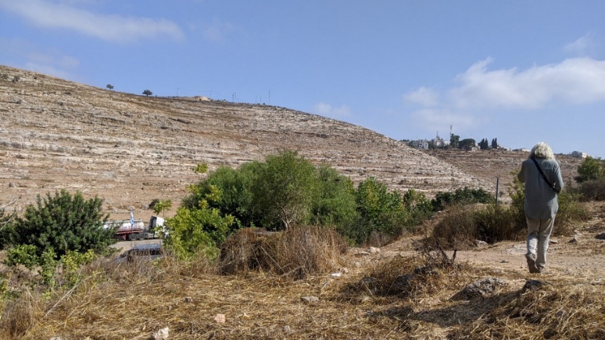
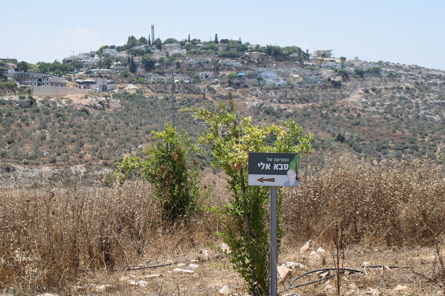
Sanctifying a “fruit tree corner” where once there were olive trees. The settlement of Pedu'el is visible on the ridge
Jul-13-2022
Sanctifying a “fruit tree corner” where once there were olive trees. The settlement of Pedu'el is visible on the ridge
Photographer:
Jul-13-2022
Jul-13-2022
Photographer: Nurit Popper
Jul-13-2022
The location where the head of the family and site owner died. The settlers erected a KKL table and are desecrating the location
Jul-13-2022
The location where the head of the family and site owner died. The settlers erected a KKL table and are desecrating the location
Photographer: Nurit Popper
Jul-13-2022
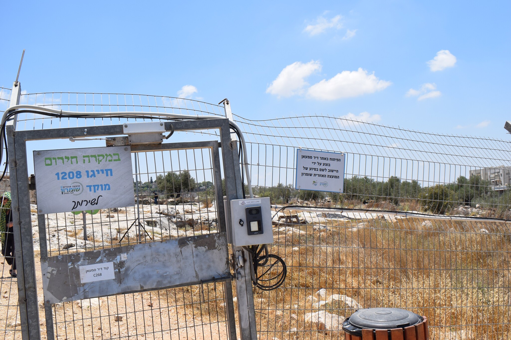
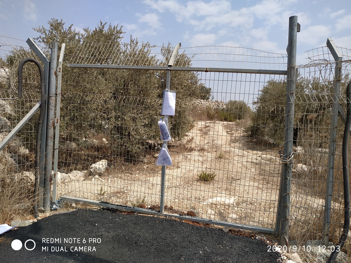
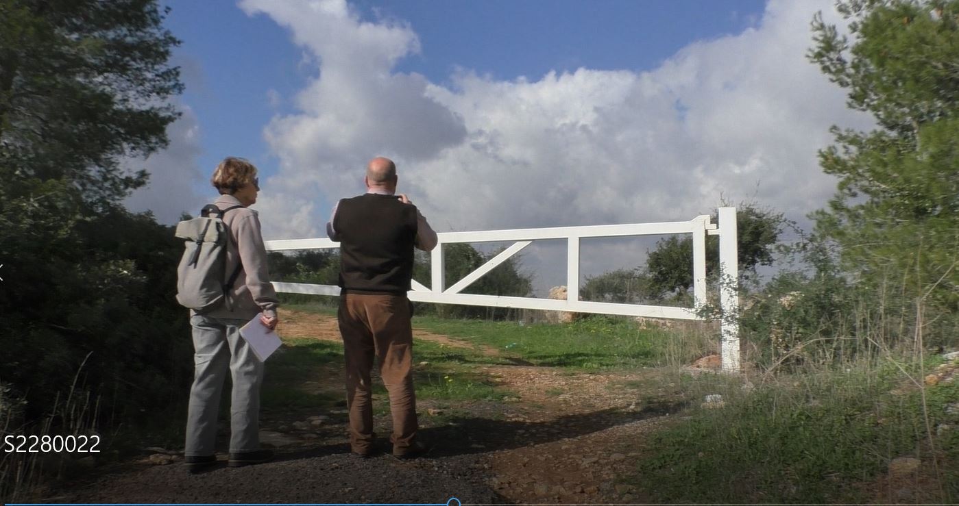
The agricultural gate to the site. Paper notes on the gate are the expropriation orders. 9.10.2020
Jul-13-2022
The agricultural gate to the site. Paper notes on the gate are the expropriation orders. 9.10.2020

Photographer:
Jul-13-2022
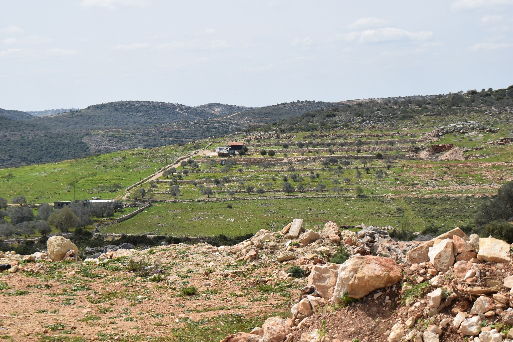
The Byzantine site of Deir Sam'an (center) and the olive groves surrounding it, settlers’ homes beyond. The road that branches from the road to the settlement can be seen going up to the site. The map is from Google a few years ago
Jul-13-2022
The Byzantine site of Deir Sam'an (center) and the olive groves surrounding it, settlers’ homes beyond. The road that branches from the road to the settlement can be seen going up to the site. The map is from Google a few years ago
Photographer: Nurit Popper
Jul-13-2022
Jul-13-2022
Photographer: Nurit Popper
Jul-13-2022
Jul-13-2022
Photographer: Irit Segoli
Jun-19-2022
Jun-19-2022
Photographer: Irit Segoli
Jun-19-2022
Jun-19-2022

Photographer: Irit Segoli
Mar-17-2022
Mar-17-2022
Photographer: Nurit Popper
Mar-17-2022
The map from “Amud Anan”
Mar-17-2022
The map from “Amud Anan”
Photographer: Nurit Popper
Mar-17-2022
Mar-17-2022
Photographer: Nurit Popper
Mar-17-2022
Mar-17-2022

Photographer: Nurit Popper
Mar-17-2022
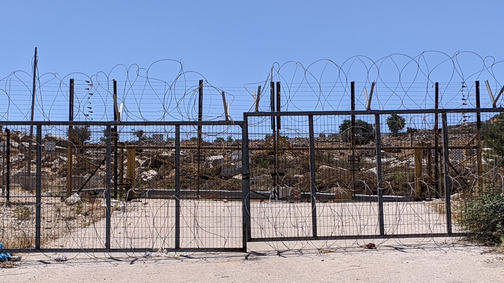
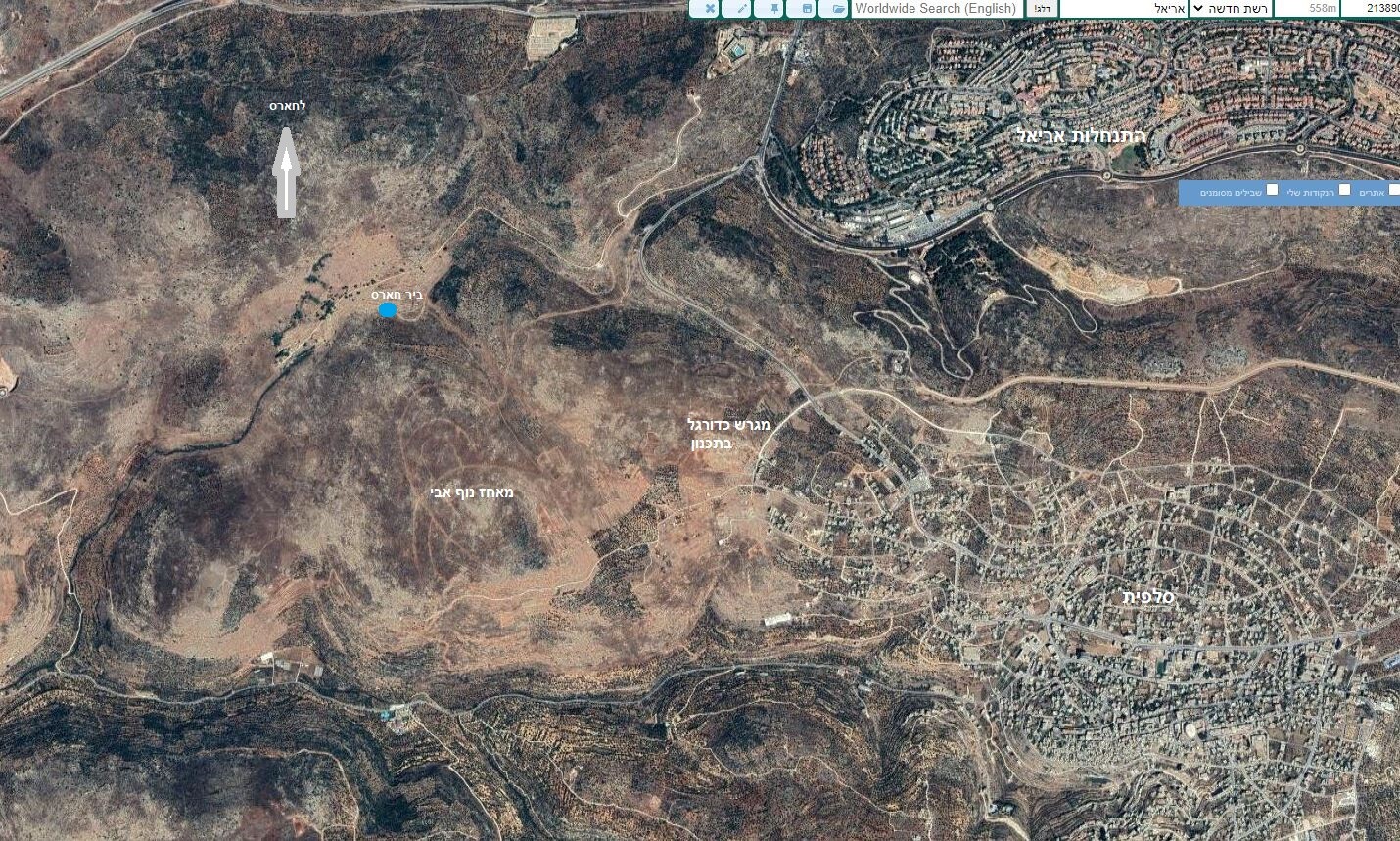
A road that crosses between areas of Salfit and areas annexed to the settlement of Ariel.
Mar-17-2022
A road that crosses between areas of Salfit and areas annexed to the settlement of Ariel.
Photographer: Nurit Popper
Mar-17-2022
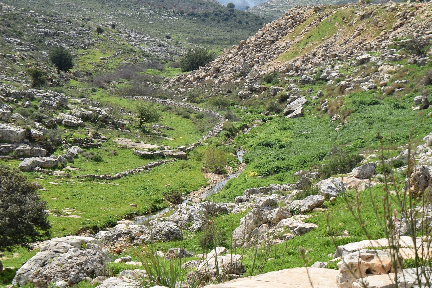
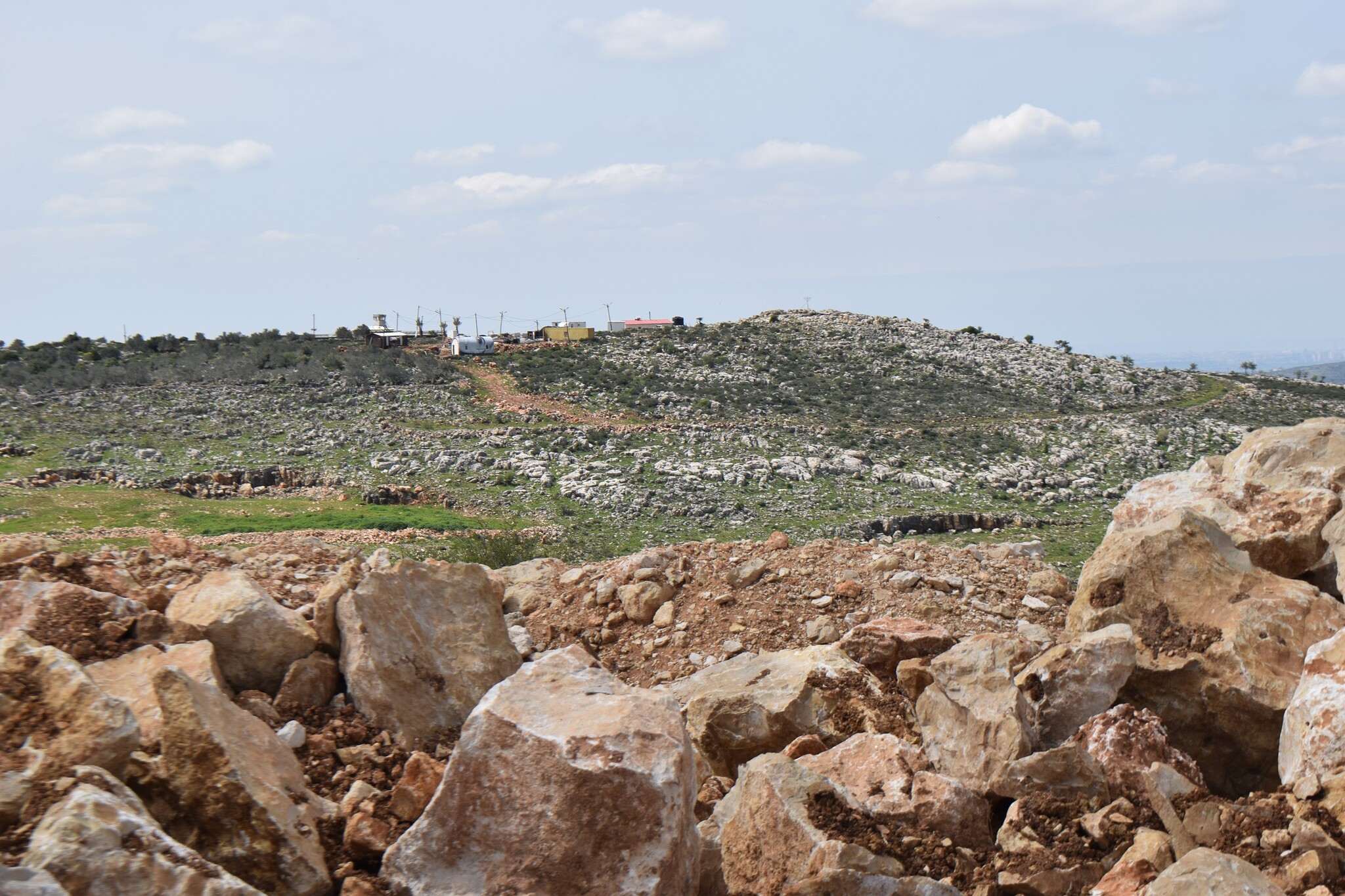
Many trees were uprooted or burned by settlers from the outpost on the hill.
Mar-17-2022
Many trees were uprooted or burned by settlers from the outpost on the hill.
Photographer: Nurit Popper
Mar-17-2022
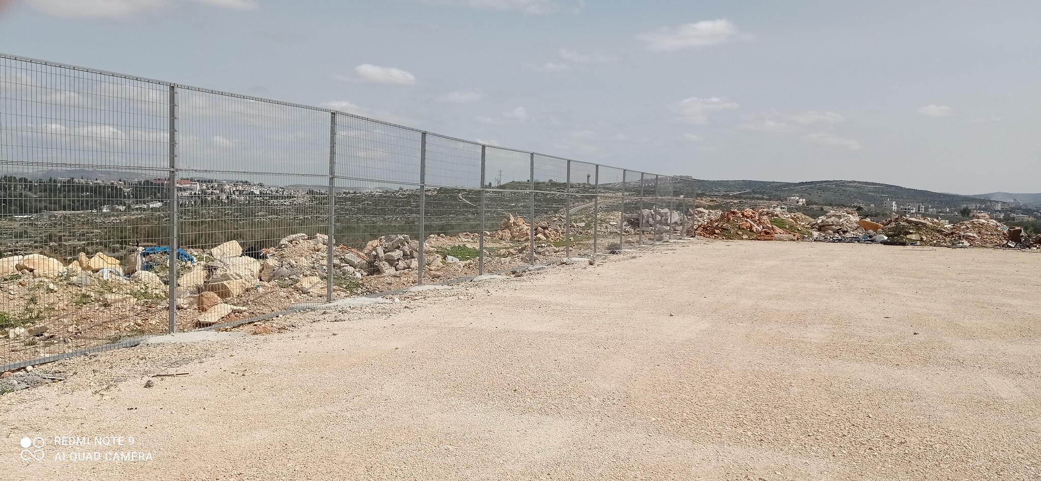
The rocks in the foreground mark the boundaries of the future football field.
Mar-17-2022
The rocks in the foreground mark the boundaries of the future football field.
Photographer: Nurit Popper
Mar-17-2022
Mar-17-2022

Photographer: Rachel Afek
Jan-3-2019
רחוב שקט בנעלין
Jan-3-2019
רחוב שקט בנעלין
Photographer: Rachel Afek
Jan-3-2019
תנופת בניה בנעלין
Jan-3-2019
תנופת בניה בנעלין

Photographer: Rachel Afek
Jan-3-2019
פריחת הצבר
Jan-3-2019
פריחת הצבר

Photographer: Nurit Popper
Dec-24-2018
בנייה חדשה בהתנחלות ברוכין
Dec-24-2018
בנייה חדשה בהתנחלות ברוכין
Photographer: Nurit Popper
Dec-24-2018
השטח שהוכשר במורד הגבעה, על הרכס חלמיש
Dec-24-2018
השטח שהוכשר במורד הגבעה, על הרכס חלמיש

Photographer: Nurit Popper
Dec-24-2018
דרך לשמורת אום ספא חסומה לרכב
Dec-24-2018
דרך לשמורת אום ספא חסומה לרכב
Photographer: Nurit Popper
Dec-24-2018
בית פאייז בק בשמורה
Dec-24-2018
בית פאייז בק בשמורה
Photographer: Nurit Popper
Dec-24-2018
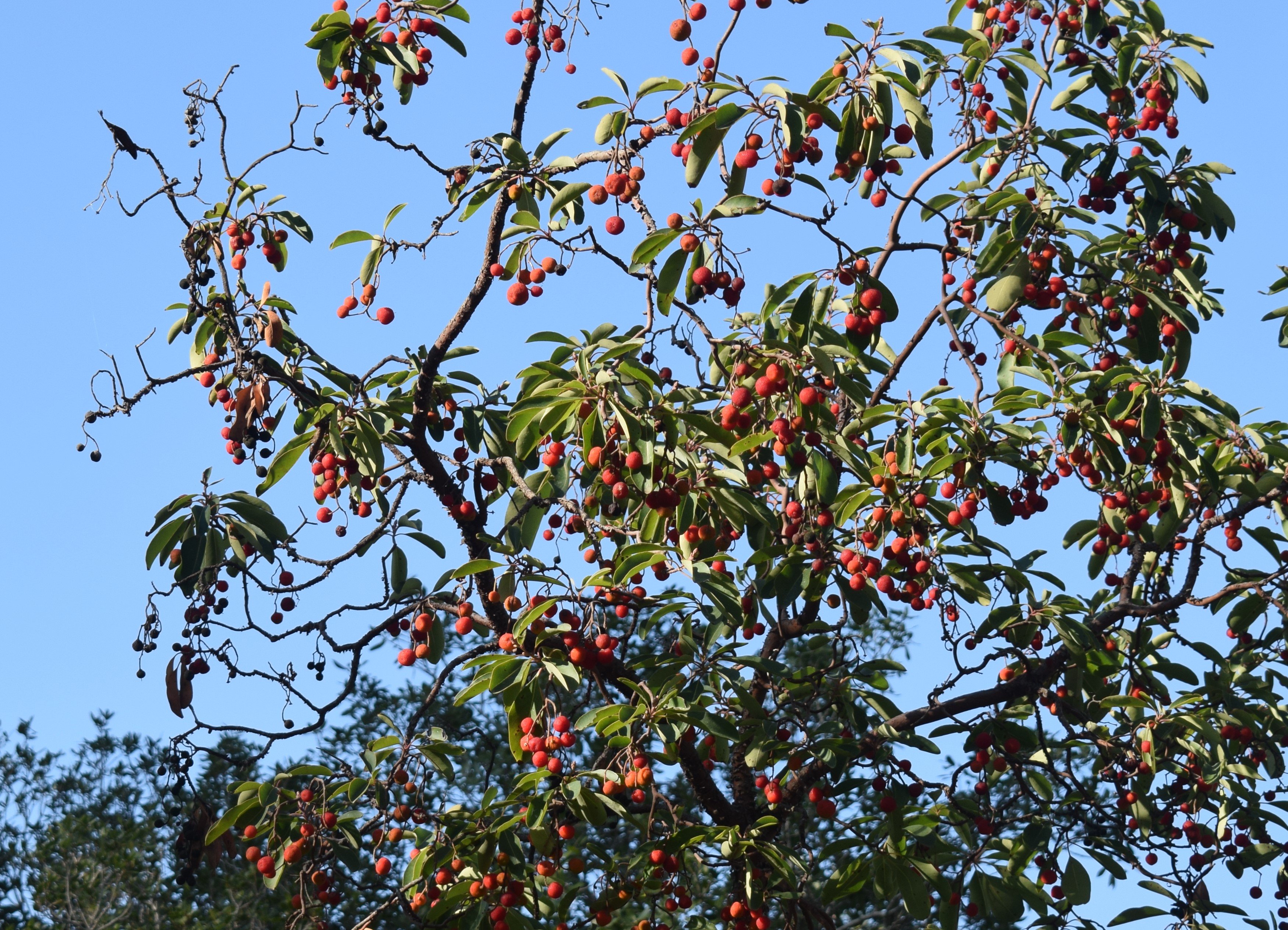
קטלב בשמורה
Dec-24-2018
קטלב בשמורה
Photographer: Nurit Popper
Dec-24-2018
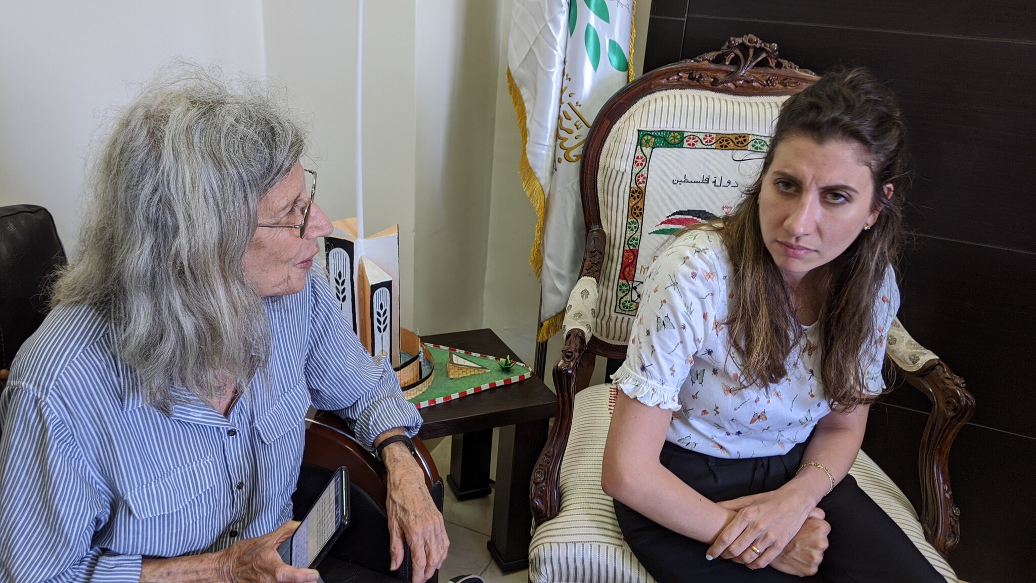
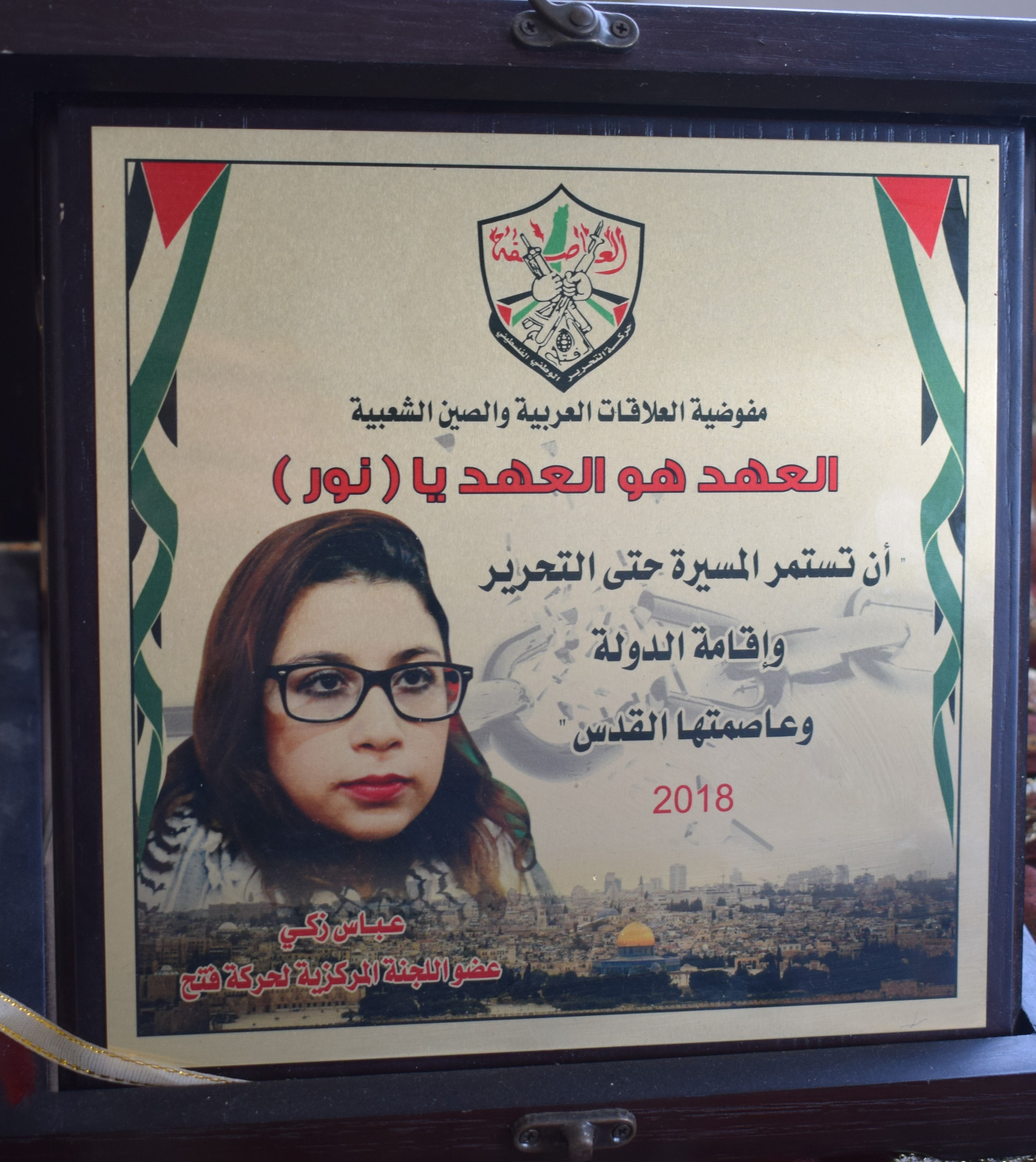
על השולחן אותות הוקרה לבתו שנעצרה
Dec-24-2018
על השולחן אותות הוקרה לבתו שנעצרה
Photographer: Nurit Popper
Dec-24-2018
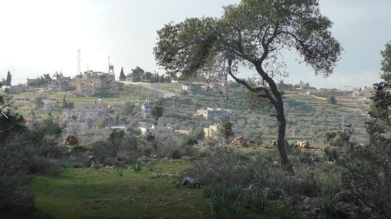
מבט לנבי סאלח מקצה השמורה
Dec-24-2018
מבט לנבי סאלח מקצה השמורה

Photographer: Nurit Popper
Dec-24-2018
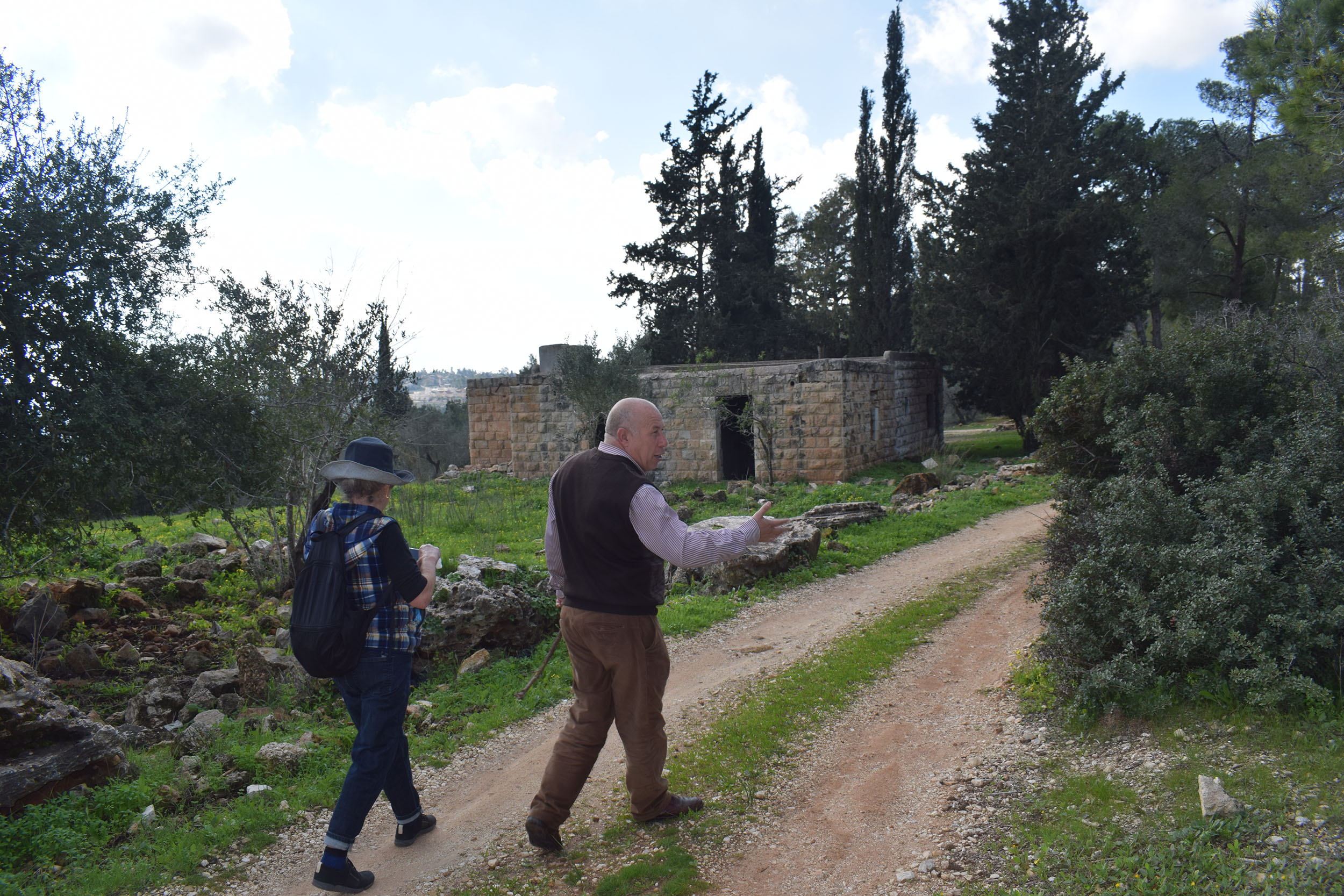
תושב הכפר מצביע לעבר הדרך שנפרצת על האדמות של תושבי הכפר
Dec-24-2018
תושב הכפר מצביע לעבר הדרך שנפרצת על האדמות של תושבי הכפר
Photographer: Nurit Popper
Dec-24-2018
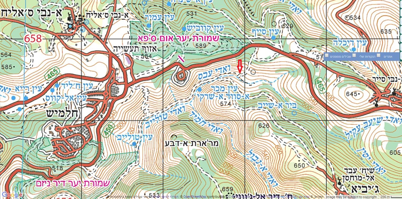
מפת אזור אום צפא. במפה מסומן בחץ אזור הדרך החדשה שהכשירו.
Dec-24-2018
מפת אזור אום צפא. במפה מסומן בחץ אזור הדרך החדשה שהכשירו.