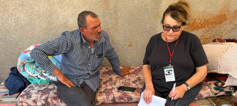
Shu’afat: closed elementary school. Tour from Shu’afat refugee camp all the way to Etzyon Bloc
Tour of Jerusalem envelope from north to south – from former UNRWA building housing Jerusalem municipality’s elementary school at Shu’afat refugee camp to the home of Nafouz Dadu’a at Al Ruqba in the southern outskirts of Efrat
Shu’afat Checkpoint and refugee camp
We entered with our vehicle through the checkpoint, to visit the only Jerusalem municipality elementary school (permitted attendance – Jerusalem residents only) situated in the former sheep market near the Separation Wall. We visit it at times and are impressed with its nice atmosphere, in spite of the dire conditions of classrooms, but feel the dread of the administrative team at the municipality’s reaction to our visits. Two weeks ago, an article in Haaretz daily newspaper was publicized about a new, large educational compound in Shu’afat and we wished to find out whether the camp children were allowed in.
In the past, we had been told that a new large elementary school compound was planned behind it. This became even more needed following the closure of UNWRA’s educational facility in July 2026 and stoppage of UNWRA activity in the camp (a boycott declared by Israel against UNWRA during the Gaza War). At the time, 600 children were ousted a single month before the end of the school year, and many could not find a fitting solution for the new school year. In other schools we visited in the camp, classrooms were unbearably crowded. To our astonishment, we found the municipal school closed!

Camp residents directed us to a part of the former UNRWA educational compound, near what used to be the compound’s football field and had become a parking lot. Great school children noise came out of the building, but we weren’t allowed inside without the municipality’s coordination and accompaniment. Residents assumed there are about 1,500 students there who arrived from another 2 schools camp schools that were closed.

A talk with the municipality spokesperson revealed that the owners of the ground of the former UNWRA compound were private persons (some of them Jews!), from whom the municipality rents the building directly. We asked about the crowded classrooms and wished to visit. We also asked about former UNWRA students who do not possess blue (Israelis) IDs, and where they go to school now, as the new school is only meant for blue ID holders. He promised to find this out with the municipality person in charge of education in the eastern part of the city, but added that as far as the municipality is concerned, anyone without a blue ID in the camp is illegal, even if his family has lived in the camp for years.
We asked whether there had been any coordination with the Palestinian Authority regarding these students and their inclusion in nearby frameworks (transport etc.)
He said he assumed there had been but has no information on this matter, and promised to look into it.
Finally, he asked us to pass on to him any other humanitarian issues of this kind. We agreed, as collaboration with the Jerusalem municipality on humanitarian issues in the city’s neighborhoods divided by the Wall might help. We plan to visit soon in the new Shu’afat educational compound as well, and see whether the camp children would enjoy its innovative positive conditions.
We think the Jerusalem municipality has decided to separate blue ID holders from the other residents of the refugee camp. One of the main ways is accessible, good education for their children. Would the others be chased away? We didn’t ask this…
We came out through adjacent Anata which is not included in the Jerusalem jurisdiction. Two new large buildings have received demolition orders from the Civil Administration, although situated in Area B which according to the Oslo Accords the State of Israel has no demolition rights there.
We also saw a manned checkpoint at the southern entrance to Anata via the Palestinian-only road (part of the apartheid road no. 4370).
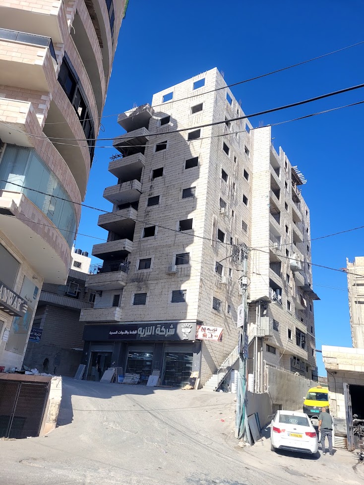

We continued our tour from north to the south of Jerusalem in what is now called “the eastern Etzyon Bloc”.
*As is known, the original Etzyon Bloc included 4 kibbutzim west of Road 60 over 20,000 dunams of JNF land. Now the regional council of the Etzyon Bloc lies over 700,000 dunams from the outskirts of Jerusalem in the north all the way to the outskirts of Hebron in the south, and from the Seamline Zone in the west all the way to the Dead Sea in the east*
We drove from northern Jerusalem to the south via A-Tour, Abu Dis, Ras al Amoud, American Highway and the Liebermann Road – and saw all the village checkpoints placed since October 7th, cutting up the roads from the northern West Bank and Jerusalem to its southern part. The only way now is a low-lying road inside the city of Bethlehem and from there to the south of the West Bank.
Opposite Efrat settlement we saw a new settlement – perhaps potentially a new Roman villa neighborhood (?).

From there we drove to the northern entrance of Efrat, where the family of the widow Nafouz Dadu’a and her seven children resides. Here is the history of the family home that is a candidate for demolition at any moment now…
To our delight, this home still stands. We brought chocolates and donations, and heard about the engagement of her 19-year-old eldest daughter. A younger daughter was married a year and a half ago to her cousin from Dura, and is already mother of a daughter. The husband tried to cross over and work in Israel, was arrested and beaten nearly to death by the Border Police. Visits are scarce because of the checkpoints and the cost.
Nafouz hints that the daughters are obliged to marry for economic and social considerations – it is not acceptable for a woman to live alone at home with two small sons (the elder is 9) and 5 daughters ages 14 to 19. It makes evil tongues wag. Unfortunately, this was a short visit because of time restrictions.
On our way back to Jerusalem, we saw that the Nashash Checkpoint stayed closed to traffic. Only here could whoever (Palestinian) wanted to cross from Bethlehem and the northern part of the West Bank continue southward. We noticed that Nashash Junction was being dug reaching the entrance to the Nashash Checkpoint. We shall continue our observation.
Location Description
'Anata / Al-'Isawiya
See all reports for this place-
'Anata / Al-'Isawiya
A checkpoint on the Eastern Ring Road (4370) opened to traffic at the end of 2018 and connects Route 437 to Route 1 inside Jerusalem. Passing of Palestinians is prohibited except for blue identity cards. Staffed by Border Police from 5:30 a.m. to evening.
-
Checkpoint Shu'afat camp / Anata-Shu'afat (Jerusalem)
See all reports for this place-
The Shu’afat checkpoint is located in the northern part of East Jerusalem at the exit from the village of Anata and the Shu’afat refugee camp, which are located in the area annexed to Jerusalem in 1967. The refugee camp borders the Shu’afat neighborhood to the west, Pisgat Ze’ev to the north, the French Hill neighborhood to the south and the planned expansion of Ma’aleh Adumim to E-1 in the east. It was established in 1966 for 1948 refugees from the West Bank and was populated after the Six Day War by persons who had been expelled from the Jewish Quarter. Today its population comprises some 25,000 people holding blue ID cards and some 15,000 people with Palestinian ID cards. The camp lacks adequate infrastructure and services, and suffers from poverty, neglect and overcrowding. All its buildings are connected to the public electricity and water infrastructure, but not all are connected to the sewer system. The camp’s services are provided by UNRWA, except for those such as health clinics and transportation of pupils to schools in Jerusalem. In 2005, the Israeli High Court of Justice rejected a suit by the residents requesting that the route of the separation fence be drawn such that the camp would remain on the Israeli side, but conditioned its approval of the route on the establishment of a convenient and rapid crossing facility for the inhabitants of the neighborhood, most of whom are residents of Jerusalem.
A temporary checkpoint operated there until December, 2011. It was extremely congested during rush hours, and dangerous for pedestrians (especially children) because of inadequate safety provisions. The new checkpoint was inaugurated south of the old one, for public and private transportation and for pedestrians, intended solely for the residents of the camp – holders of blue ID cards, and those with Palestinian ID cards who possess appropriate permits. There are five vehicle inspection stations at the checkpoint, and two for pedestrians (one of which is currently closed) where scanners have been installed but are not yet operating. According to the army, representatives of government agencies will also be present to provide services to residents of the neighbourhood. The pedestrian lanes are very long, located far from the small parking lots, and accessible through only a single revolving gate.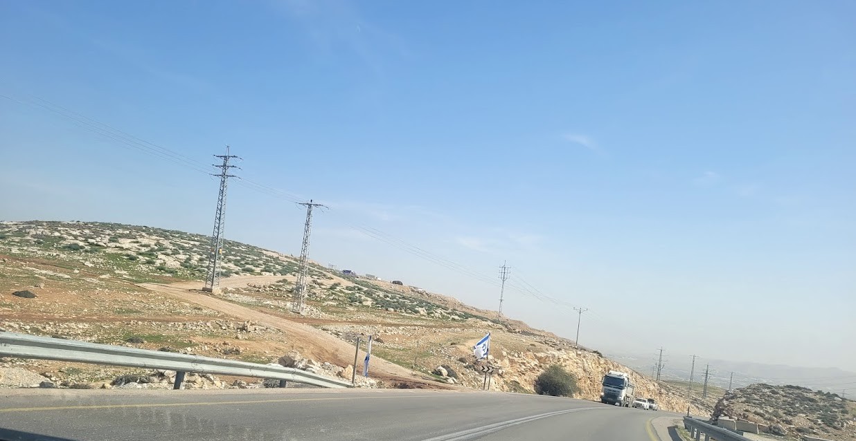 Anat TuegJan-25-2026Anata: A new outpost has been built south of the junction
-
Etzion area / Gush Etzion
See all reports for this place-
Etzion Area / Gush Etzion is a group of Jewish settlements south of Jerusalem, between Bethlehem and Hebron. Attempts at Jewish settlement in the area began in 1927. 4 kibbutzim were established between 1943–1947 but were destroyed during the Battle of Gush Etzion during the War of Independence in 1948.
After the 1967 Six Day War, Jewish settlement in Gush Etzion was renewed, and since then another 14 settlements and 10 outposts have been established. According to the info-icon of the Civil Administration, Gush Etzion is now 7 times larger than its historic area, and the Jewish lands purchased before the evacuation in 1948 constitute less than 15% of the large settlement bloc of the Gush Etzion Council today, which Israel demands to annex in the permanent agreement with the Palestinians.

The Palestinian localities in the area are concentrated in enclaves, the largest of which is in the east - the Bethlehem area, which includes Beit Jala, al-Khader, Beit Sahur and more. To the west are settlements such as Husan, Nahalin, Al Jaba'a and Batir and small and ancient agricultural villages such as Shushahala, Khalat Sakaria and more. These are scattered on the last agricultural land left by the Palestinians in the area. In the 2000s, many illegal outposts sprang up, taking over private Palestinian land under the auspices of the administration and the army, trying in an extremely violent way to evict farmers from their land and homes and thus expand the settlements. Watch the video about the harsh reality in the Shushalah and Makam Nabi Daniel area.
During the 1990s, the new Road 60, most of which is forbidden to Palestinian traffic, was paved, and a separation wall was built next to it. Access to many of the Palestinian villages and agricultural lands in the area was blocked, and a buffer was created between the villages themselves as well as between them and the lands they owned. The layout of the settlements and the network of roads and checkpoints in the entire Etzion area indicate the intention to create a territorial and transportation continuum between Gush Etzion and Jerusalem.
Machsom Watch members have been active in the for many years. We talk to the Palestinians at intersections, DCOs, villages and Makamim (ancient Palestinian heritage sites) and try to publicize the looting, apartheid and violence they are experiencing. You can read about their activities in the attached reports.
in 2021, after many years of negotiations, the Civil Administration issued a new plan for the central village of Khirbet Bet Zakariya, including construction permits. The adjacent settlers protestated and asked the minister of defence to cancel the permits. Our members are in contact with the village and are trying to involve other organiztions and use public opinion and to stop this cancelation.
-
-