
Susyia - This year they didn't sow barley because the previous barley was eaten by Amishav Peled's sheep and Shem Tov Lusky's cows.
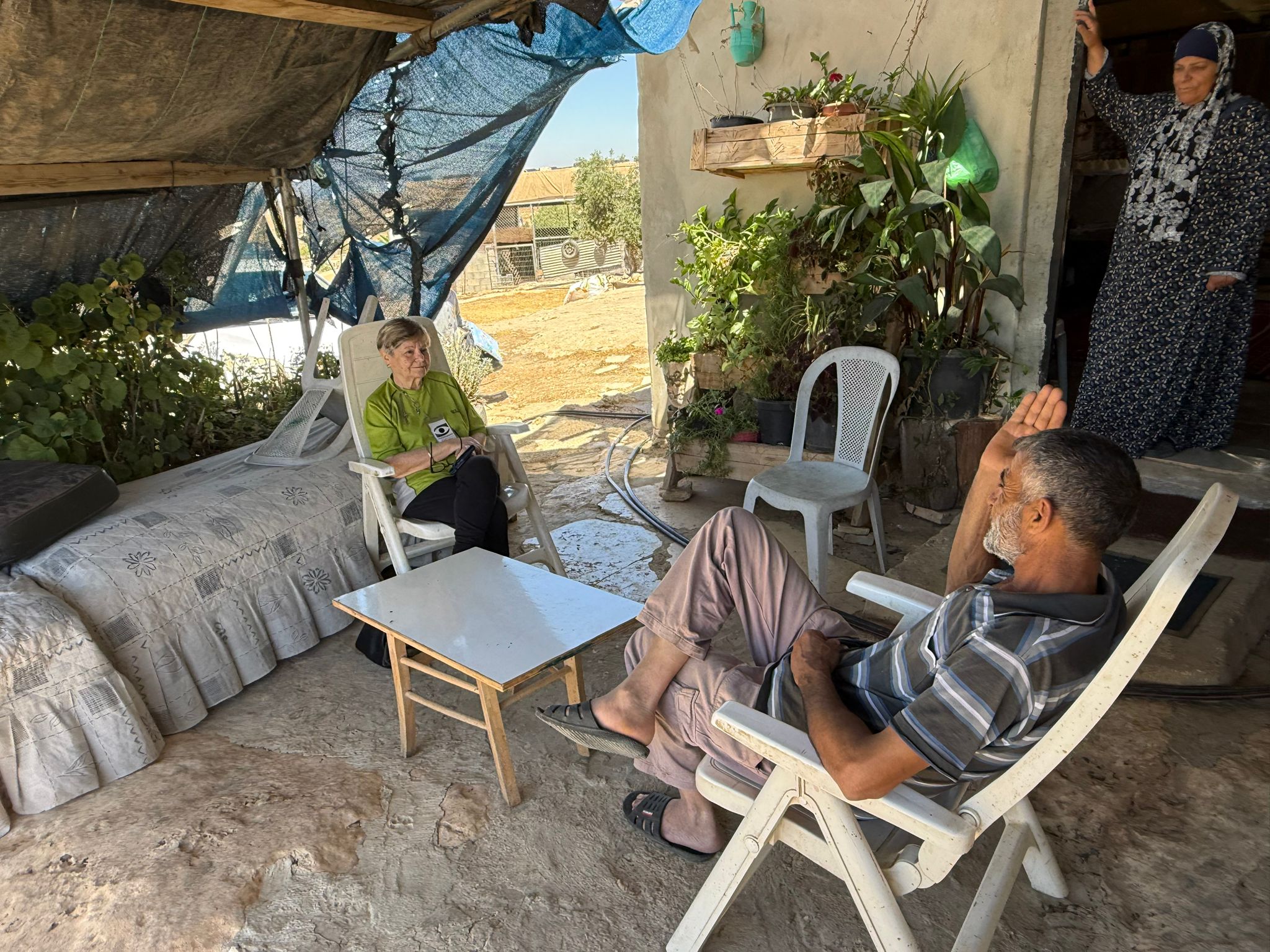
We drove to Azam and Wadha to visit and see how they were,
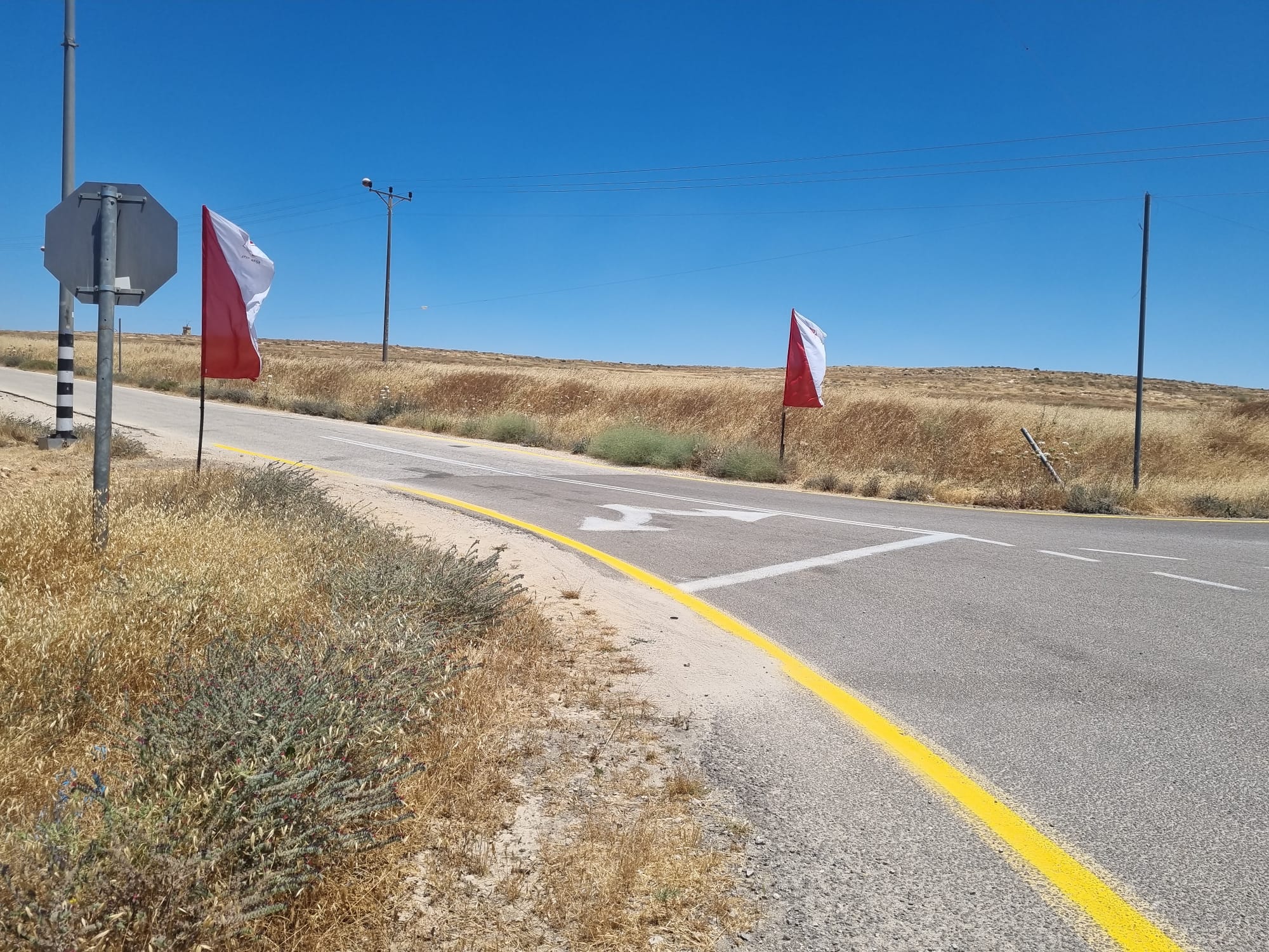
Entering the internal road to Susiya from Road 317, we already noticed two Israeli army flags marking the military base at the edge of the village. Israel flags are seen everywhere, proving dominance.
Sitting with them at the entrance to their house, with a nice breeze and the plants they grow in flower pots that Azam makes himself – proof of wanting to live a quiet, normal life. Over tea served by Wadha, we hear how distant this is from reality.
They are left with 30 sheep, out of 70, for there is no possibility to graze them. The barley has been eaten by Amishav Peled’s sheep and Shem Tov Lusky’s cattle.
This year the couple no longer sowed, clearly it would be in vain.
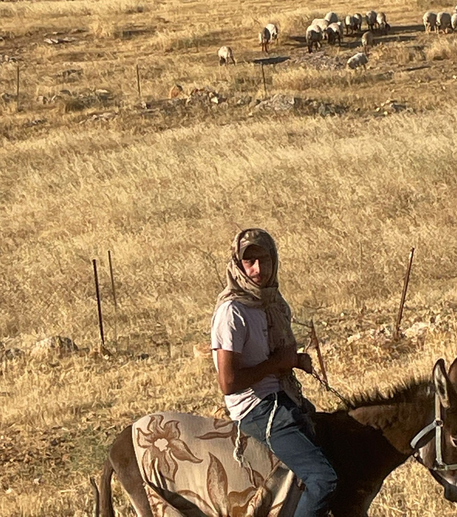
The shepherd of Amishav Peled’s flock from Susia colony arrives there every day, in spite of an order by the regional general, forbidding such invasion all the way to the villagers’ homes.
Azam speaks of a Palestinian, Ali Sabakh, a cancer patient who lives near Beit Yatir Checkpoint. At night colonists stole his entire flock, numbering about 60 sheep.
Villagers from Susya and the region donated about 15 sheep to him.
Hardly a day passes without colonists, headed by Shem Tov Lusky, harassing Palestinians, wounding them – they even killed a local.
The economic situation is dire.
Azam and his sons, too, are unemployed after years of work inside Israel.
We left food and clothes as usual.
Azam is an interesting, fascinating and pleasant person. Their situation is truly heart-breaking.
Location Description
South Hebron Hills
See all reports for this place-
South Hebron Hills
South Hebron Hills is a large area in the West Bank's southern part.
Yatta is a major city in this area: right in the border zone between the fertile region of Hebron and its surroundings and the desert of the Hebron Hills. Yatta has about 64,000 inhabitants.
The surrounding villages are called Masafer Yatta (Yatta's daughter villages). Their inhabitants subsist on livestock and agriculture. Agriculture is possible only in small plots, especially near streams. Most of the area consists of rocky terraces.Since the beginning of the 1980s, many settlements have been established on the agricultural land cultivated by the Palestinians in the South Hebron Hills region: Carmel, Maon, Susia, Masadot Yehuda, Othniel, and more. Since the settlements were established and Palestinians cultivation areas have been reduced; the residents of the South Hebron Hills have been suffering from harassment by the settlers. Attempts to evict and demolish houses have continued, along with withholding water and electricity. The military and police usually refrain from intervening in violent incidents between settlers and Palestinians do not enforce the law when it comes to the investigation of extensive violent Jewish settlers. The harassment in the South Hebron Hills includes attacking and attempting to burn residential tents, harassing dogs, harming herds, and preventing access to pastures.
There are several checkpoints in the South Hebron Hills, on Routes 317 and 60. In most of them, no military presence is apparent, but rather an array of pillboxes monitor the villages. Roadblocks are frequently set up according to the settlers and the army's needs. These are located at the Zif Junction, the Dura-al Fawwar crossing, and the Sheep Junction at the southern entrance to Hebron.
Updated April 2022
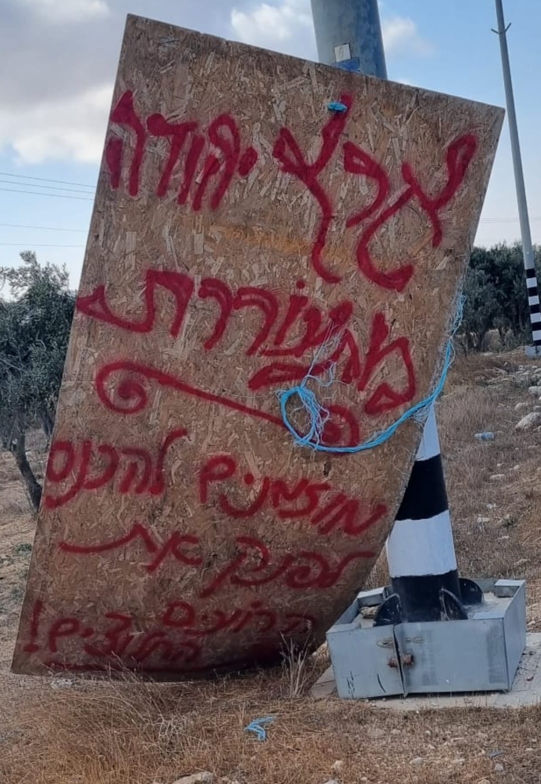 Smadar BeckerOct-17-2026A sign placed by those who call themselves the Pioneer Shepherds, at the outpost adjacent to Qawawis
-
Susiya
See all reports for this place-
Susiya The Palestinian area lies between the settlement of Susya and a military base. The residents began to settle in areas outside the villages in the 1830s and lived in caves, tents and sukkot. To this day they maintain a traditional lifestyle and their livelihood is based on agriculture and herding. Until the 1948 war, the farmers cultivated areas that extended to the Arad area. As a result of the war, a significant portion of their land left on the Israeli side was lost. After the 1967 war and the Israeli occupation, military camps were established in the area, fire zones and nature reserves were declared, and the land area was further reduced. The Jewish settlement in Susya began in 1979. Since then, there has been a stubborn struggle to remove the remains of Palestinian residents who refuse to leave their place of birth and move to nearby town Yatta. With the development of a tourist site in Khirbet Susya in the late 1980s (an ancient synagogue), dozens of families living in caves in its vicinity were deported. In the second half of the 1990s, a new form of settlement developed in the area - shepherds' farms of individual settlers. This phenomenon increased the tension between the settlers and the original, Palestinian residents, and led to repeated harassment of the residents of the farms towards the Palestinians. At the same time, demolition of buildings and crop destruction by security forces continued, as well as water and electricity prevention. In the Palestinian Susya, as in a large part of the villages of the southern Hebron Mountains, there is no running water, but the water pipe that supplies water to the Susya Jewish settlement passes through it. Palestinians have to buy expensive water that comes in tankers. Solar electricity is provided by a collector system, installed with donation funds. But the frequent demolitions in the villages do not spare water cisterns or the solar panels and power poles designed to transfer solar electricity between the villages. Updated April 2021, Anat T.
-
