
South Hebron Hills: A support visit during times of land expropriation and demolition orders

- Israel flags dominate the road as early as the Yatir locality, which had been moved from its original site inside Israel-proper into the West Bank. The music in the car reminds us that we are in the West Bank: The Israeli classical music station keeps changing with random Palestinian stations on the same wavelength.
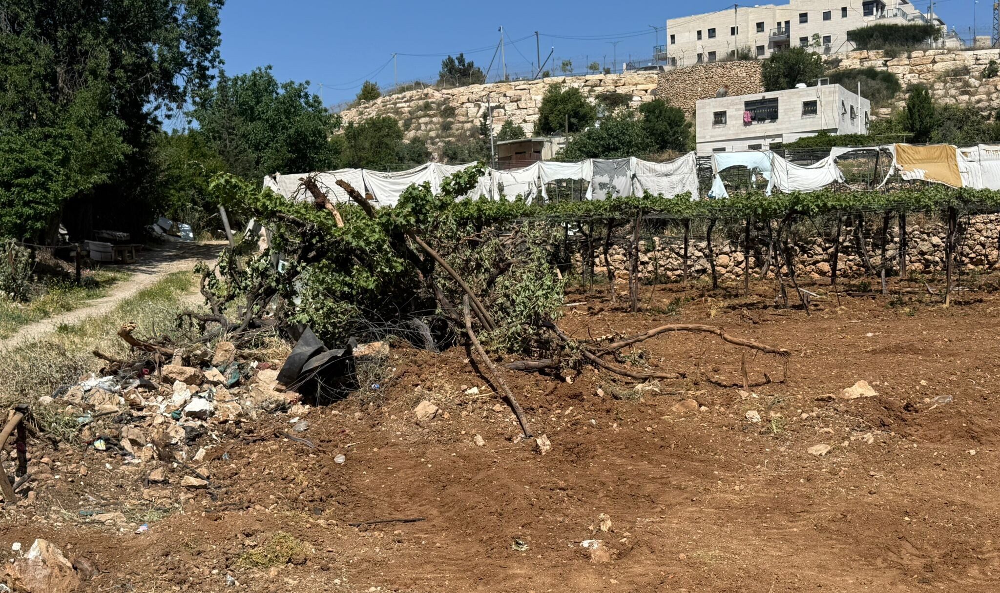
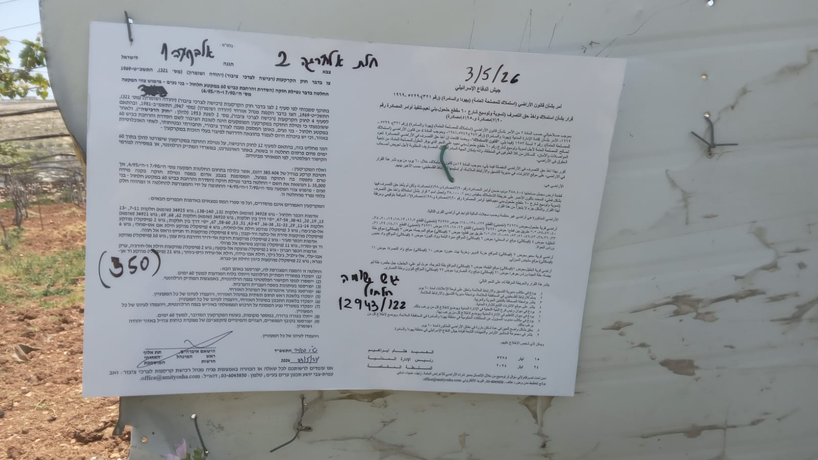
- The widening of Road 60: on both sides of the road, Palestinian trees and farm crops are being uprooted, 13 meters on each side. People prefer do it themselves, as to be able to replant them elsewhere. Thus, placing the Israel flags on both sides of the road becomes really significant, marking it as a Jewish-Israeli road…
- We visit the Jaber family near the Kiryat Arba Junction. We meet A., who lives across the road and comes to meet us. Mohammad gives him products bought with members’ donations. A’ will inform Mohammad of a medication’s name for his wife, which she needs and is not available here.
A’ speaks on the phone with Naomi Betzer – they have been friends since 1998, days of Peace Now and Yossi Sarid. In the past, aided by the B’Tselem organization, A’ managed to postpone the demolition order of his home which has been standing nor far from the road since before 1982. Now the Israeli authorities are issuing demolition orders even for houses inside Area B. Colonists with their flocks enter privately-owned Palestinian areas around Kiryat Arba colony (adjacent to Hebron). A’ has got application forms to the DCO requesting remuneration for the lands confiscated to widen the road, and asks us to help him in this matter.
- We continue to M. at Tarqumiah. There are Israel flags all along road 35 as well. I give her the money collected from members by Rachel Afek. She shows me a video of MK Rabbi Gil’ad Kariv’s visit, as she showed him the houses and area taken over by colonists inside Area B.
Location Description
South Hebron Hills
See all reports for this place-
South Hebron Hills
South Hebron Hills is a large area in the West Bank's southern part.
Yatta is a major city in this area: right in the border zone between the fertile region of Hebron and its surroundings and the desert of the Hebron Hills. Yatta has about 64,000 inhabitants.
The surrounding villages are called Masafer Yatta (Yatta's daughter villages). Their inhabitants subsist on livestock and agriculture. Agriculture is possible only in small plots, especially near streams. Most of the area consists of rocky terraces.Since the beginning of the 1980s, many settlements have been established on the agricultural land cultivated by the Palestinians in the South Hebron Hills region: Carmel, Maon, Susia, Masadot Yehuda, Othniel, and more. Since the settlements were established and Palestinians cultivation areas have been reduced; the residents of the South Hebron Hills have been suffering from harassment by the settlers. Attempts to evict and demolish houses have continued, along with withholding water and electricity. The military and police usually refrain from intervening in violent incidents between settlers and Palestinians do not enforce the law when it comes to the investigation of extensive violent Jewish settlers. The harassment in the South Hebron Hills includes attacking and attempting to burn residential tents, harassing dogs, harming herds, and preventing access to pastures.
There are several checkpoints in the South Hebron Hills, on Routes 317 and 60. In most of them, no military presence is apparent, but rather an array of pillboxes monitor the villages. Roadblocks are frequently set up according to the settlers and the army's needs. These are located at the Zif Junction, the Dura-al Fawwar crossing, and the Sheep Junction at the southern entrance to Hebron.
Updated April 2022
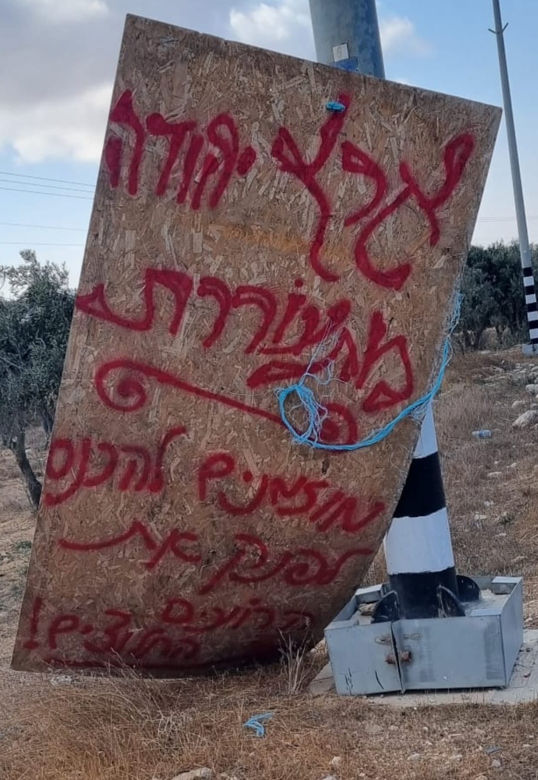 Smadar BeckerOct-17-2026A sign placed by those who call themselves the Pioneer Shepherds, at the outpost adjacent to Qawawis
-
