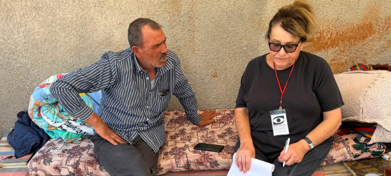
Shweika - The army and settlers don't actually enter the village, but constantly pass by on the main dirt road nearby.
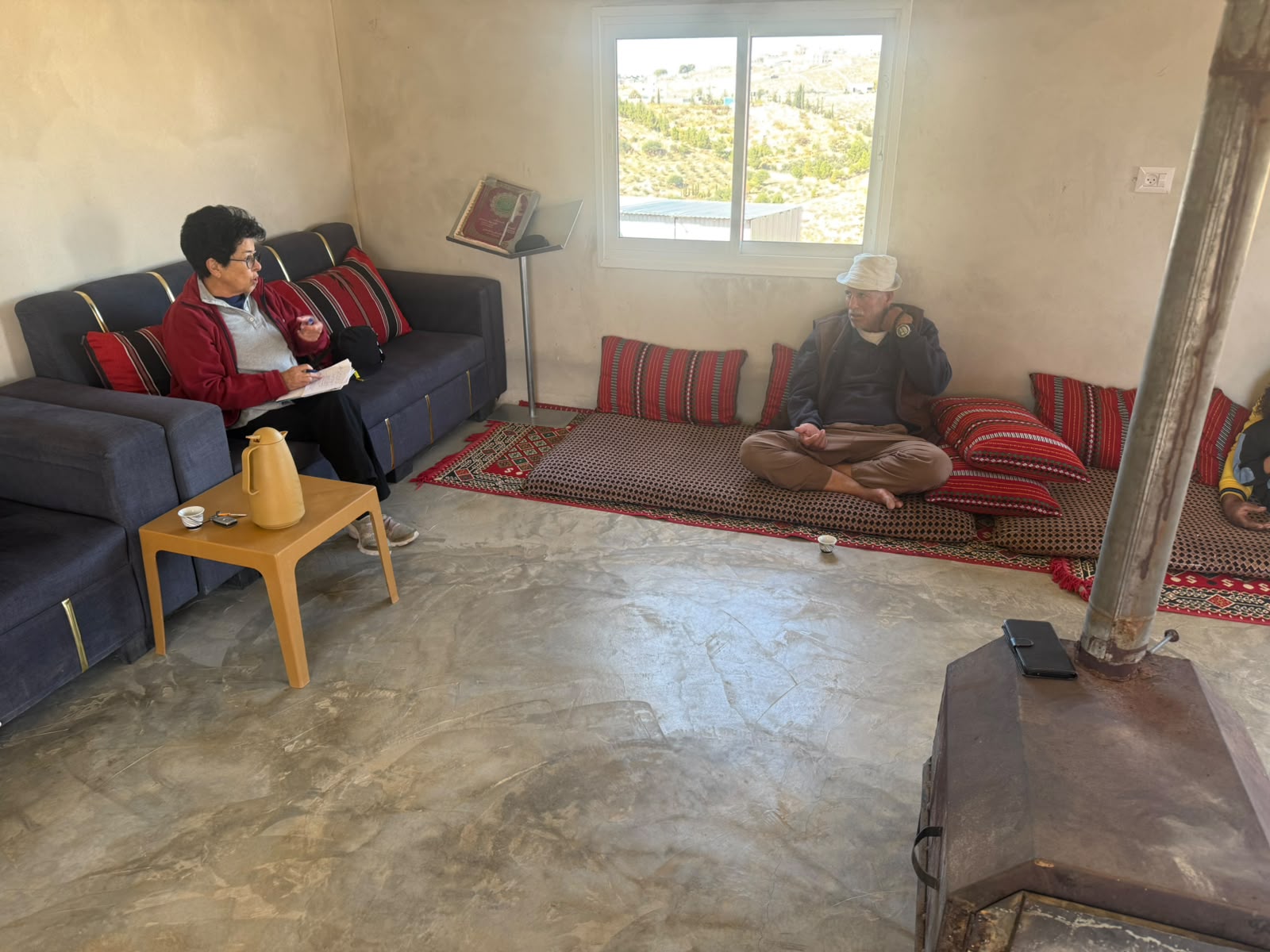
We drove to Shweika along a dirt road branching off Route 60 (after Eshtemoa, near the Mekorot water tank).
We went to visit Fares, who had been expelled from Zanuta along with his entire family and all the other residents of the village.
Their living conditions are physically better and more peaceful, but it is not home…
The army and the settlers do not actually enter the village, but they constantly travel along the nearby main dirt road, which leads to Dahariya.
Fares has approximately 250 sheep, but he cannot take them out to graze… It is forbidden!
He therefore has to buy feed, water, and straw for them, costing thousands of shekels. As a result, he barely earns anything from dairy products and the sale of lambs.
Muhammad brought him medicines and powdered milk for the lambs and sheep.
The sons do not work. There are no jobs, no livelihood, apart from what they earn from the sheep…
Along the way, we also saw roadside stalls where people were selling chickens, pigeons…
Fares told us that the house of the late Abu Safi, who had also been expelled from his home along with his family, had been demolished. The entire area was plowed up and turned into a recreational area for outings…
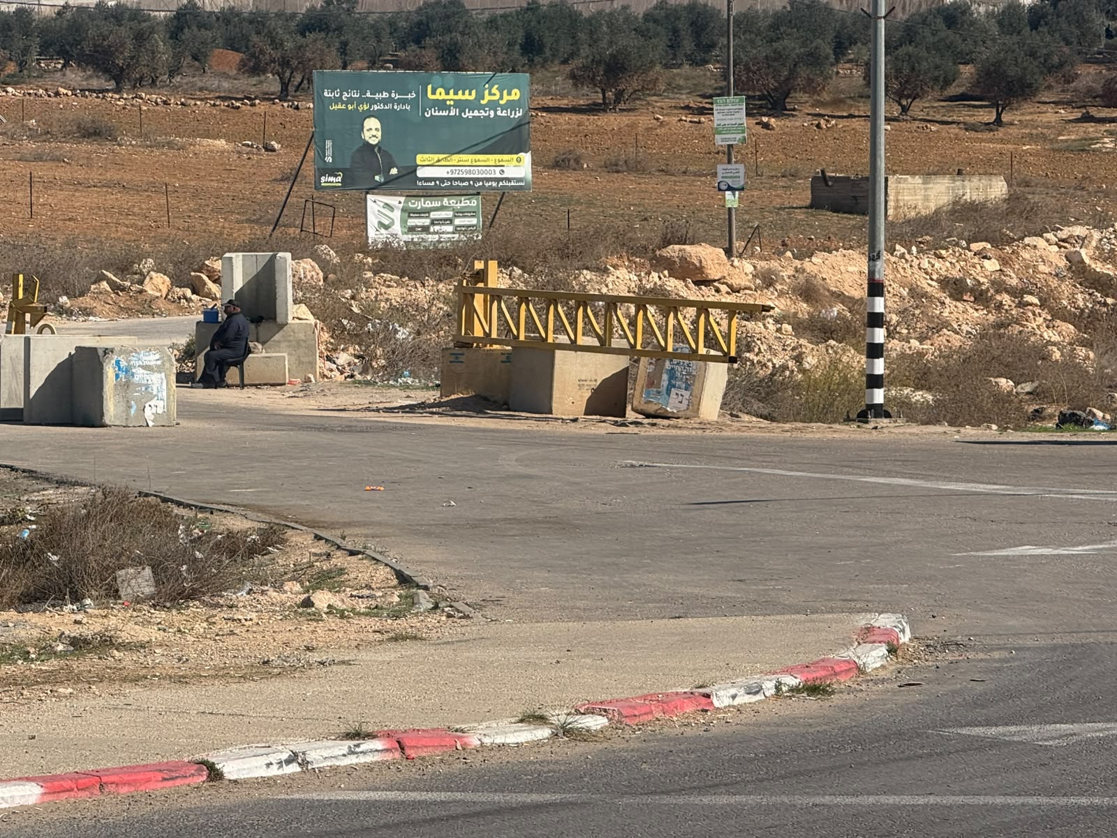
We continued driving, intending to visit Farhan in Simiya as well, but the entrance was blocked by a checkpoint.
We drove on. The entrance to Samu’ was open.
Another shift in a lawless area, among residents who suffer constant abuse, yet continue to restrain themselves!
Location Description
South Hebron Hills
See all reports for this place-
South Hebron Hills
South Hebron Hills is a large area in the West Bank's southern part.
Yatta is a major city in this area: right in the border zone between the fertile region of Hebron and its surroundings and the desert of the Hebron Hills. Yatta has about 64,000 inhabitants.
The surrounding villages are called Masafer Yatta (Yatta's daughter villages). Their inhabitants subsist on livestock and agriculture. Agriculture is possible only in small plots, especially near streams. Most of the area consists of rocky terraces.Since the beginning of the 1980s, many settlements have been established on the agricultural land cultivated by the Palestinians in the South Hebron Hills region: Carmel, Maon, Susia, Masadot Yehuda, Othniel, and more. Since the settlements were established and Palestinians cultivation areas have been reduced; the residents of the South Hebron Hills have been suffering from harassment by the settlers. Attempts to evict and demolish houses have continued, along with withholding water and electricity. The military and police usually refrain from intervening in violent incidents between settlers and Palestinians do not enforce the law when it comes to the investigation of extensive violent Jewish settlers. The harassment in the South Hebron Hills includes attacking and attempting to burn residential tents, harassing dogs, harming herds, and preventing access to pastures.
There are several checkpoints in the South Hebron Hills, on Routes 317 and 60. In most of them, no military presence is apparent, but rather an array of pillboxes monitor the villages. Roadblocks are frequently set up according to the settlers and the army's needs. These are located at the Zif Junction, the Dura-al Fawwar crossing, and the Sheep Junction at the southern entrance to Hebron.
Updated April 2022
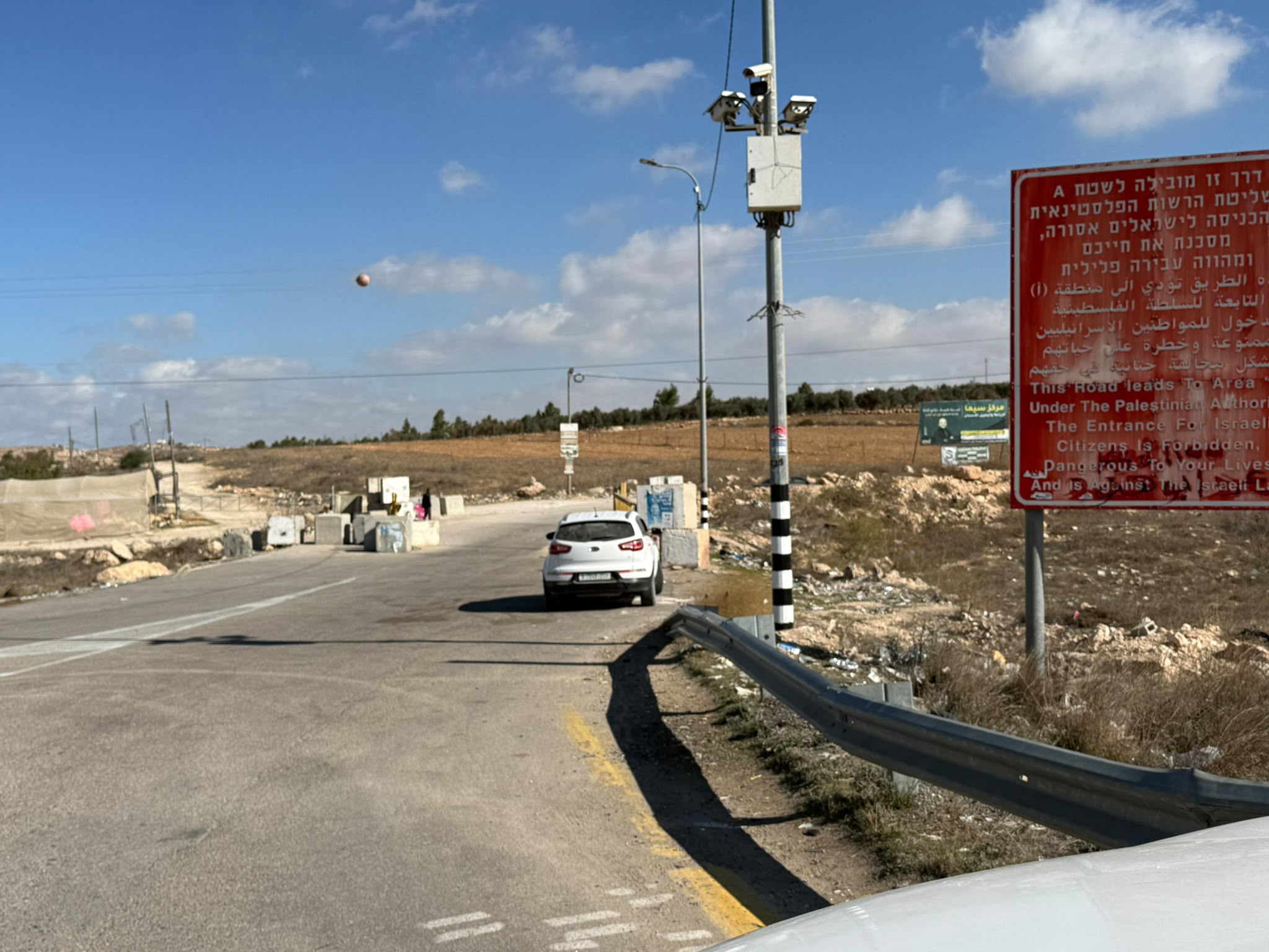 Raya YeorNov-18-2026Changing blockades and uncertainty in the movement of residents 1
-
Zanuta
See all reports for this place-
Zanuta was a small rural Palestinian locality until its demolition. It was situated in the space around the town Dahariya in the South Hebron Hills, about a ten-minute ride from Meitar Checkpoint. There are documented remains of a large Byzantine settlement in the area. Since the Ottoman (Turkish Empire) period (1516-1917) Zanuta was documented as a locality of shepherds and farmers who live in the remains of the ancient structures and the residential caves near them.
Two individual ranches of colonists were created next to Zanuta: Meitarim (of the colonist Yinon Levi) to the east, and Yehudah (of the colonist Elyashiv Nachum) to the north. Endless attacks, harassments and attempt to chase away the Zanuta villagers have originated in these two outposts.
Until the expulsion, four families lived in the village: A-Samama, Al-Tel, Al Batat, and Al-Qaisia. Farming constituted their main economic activity and employed most of the villagers. The total area of the village is about 12,000 dunams, of which about 3,000 are tended, mostly with field crops.
This village has never had a master plan that would legitimize construction permits. The Civil Administration claimed it was too small and the distance to the next town, Dahariya, too great. For this reason, the Israeli authorities pressured the villagers to leave. The colonists did the job for them.
-