
‘Anata-Shu’afat, Al-Ezariya, Container (Wadi Nar)
 |
The situation at the three crossings from Issawiyya remain the same. At Mt. Scopus, the road remains blocked and the passageway for pedestrians is under a half meter wide. No person with disabilities could possibly get through and it would be treacherous for a mother carrying a child. The passages leading to French Hill and on to the road to Maaleh Adumim remain single file with huge concrete blocks preventing two way traffic .
Al-'Eizariya
See all reports for this place-
Al-'Eizariya
At exit from Al-'Eizariya, before square leading to Maale Adumim. Mobile checkpoint (jeep and Border Police) operating till 09:00 am, facilitating traffic exiting Maale Adumin on three kilometer strip of road, also permissible for Palestinian vehicles. A similar checkpoint in the opposite direction, on road between Mishor Adumim and Adumim Junction. This checkpoint facilitates settler traffic on the Jerusalem-Jericho-Rift Valley road.
-
Checkpoint Shu'afat camp / Anata-Shu'afat (Jerusalem)
See all reports for this place-
The Shu’afat checkpoint is located in the northern part of East Jerusalem at the exit from the village of Anata and the Shu’afat refugee camp, which are located in the area annexed to Jerusalem in 1967. The refugee camp borders the Shu’afat neighborhood to the west, Pisgat Ze’ev to the north, the French Hill neighborhood to the south and the planned expansion of Ma’aleh Adumim to E-1 in the east. It was established in 1966 for 1948 refugees from the West Bank and was populated after the Six Day War by persons who had been expelled from the Jewish Quarter. Today its population comprises some 25,000 people holding blue ID cards and some 15,000 people with Palestinian ID cards. The camp lacks adequate infrastructure and services, and suffers from poverty, neglect and overcrowding. All its buildings are connected to the public electricity and water infrastructure, but not all are connected to the sewer system. The camp’s services are provided by UNRWA, except for those such as health clinics and transportation of pupils to schools in Jerusalem. In 2005, the Israeli High Court of Justice rejected a suit by the residents requesting that the route of the separation fence be drawn such that the camp would remain on the Israeli side, but conditioned its approval of the route on the establishment of a convenient and rapid crossing facility for the inhabitants of the neighborhood, most of whom are residents of Jerusalem.
A temporary checkpoint operated there until December, 2011. It was extremely congested during rush hours, and dangerous for pedestrians (especially children) because of inadequate safety provisions. The new checkpoint was inaugurated south of the old one, for public and private transportation and for pedestrians, intended solely for the residents of the camp – holders of blue ID cards, and those with Palestinian ID cards who possess appropriate permits. There are five vehicle inspection stations at the checkpoint, and two for pedestrians (one of which is currently closed) where scanners have been installed but are not yet operating. According to the army, representatives of government agencies will also be present to provide services to residents of the neighbourhood. The pedestrian lanes are very long, located far from the small parking lots, and accessible through only a single revolving gate.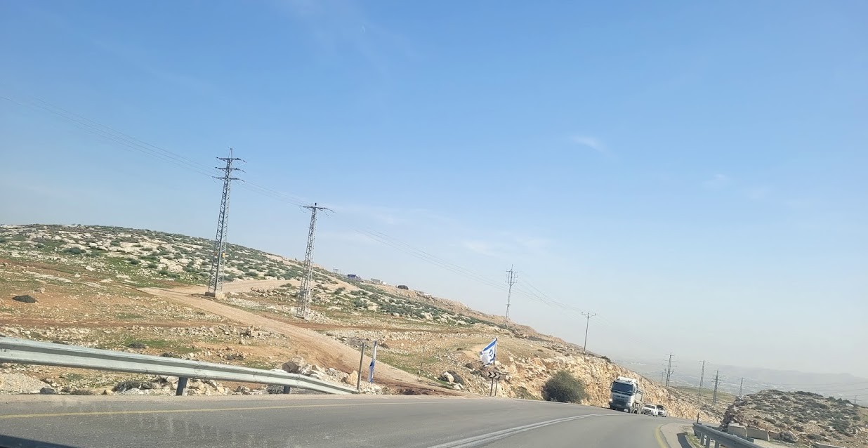 Anat TuegJan-25-2026Anata: A new outpost has been built south of the junction
-
Container (Wadi Nar)
See all reports for this place-
Wadi Nar Checkpoint ("Container", "The Kiosk") - a barrier for vehicles in Area B that is regularly manned - east of Abu Dis between Sawahra A Sharqiya and Bethlehem and its daughters. Controls Palestinian movement between the north and south West-Bank. Includes driving routes, access roads, spikes, traffic lights and signs. There is no pedestrian crossing. Open 24 hours a day with random checks enhanced on security alerts. The checkpoint is in Palestinian territory, allowing for separation between the north and the south Palestinian areas when necessary.
In 2015, the leading road from Azaria to Bethlehem was renovated, as well as the steep and narrow ascent to the Wadi Nar checkpoint, which was dangerously travelled in both directions! The temporary checkpoint was renovated and expanded, and pedestrian traffic was banned. From 2016, traffic travelling from the south bank to Azaria was directed to a one-way road near the Southern Keydar Jewish settlement.
Machsomwatch shifts visit this far-fetched checkpoint only occasionally.
(updated to July 2019)
-
