
‘Anata-Shu’afat, ‘Isawiya (East Jerusalem)
A long line of cars, taxis and buses waits at the exit from Shuafat. In one lane the vehicles of public transportation waited; the rest in the other two. Drivers complained they had been waiting for more than 30 minutes.
Their patience ran out and they started honking continuously. The lines began to move but very slowly. There was a big delay in the lane for public transportation.
We talked to the commander of the crossing and asked why only two lanes were open. "None of your business", he replied, and left. We called Hanna who said she would try to help.
A border policeman came up to us and explained that the delay was due to insufficient manpower for more lanes. Two soldiers who were supposed to man two more lanes were occupied with guarding a delayed person. While we were talking, the line began to move a little faster, perhaps due to Hanna's intervention.
The pace of crossing picked up. We timed it. Crossing of private cars took around half a minute. Each car waits at a certain distance from those checking, and is allowed to move forward only when the car in front has crossed. This of course increases the waiting time.
As always, the people we met were friendly and courteous.
Issawiya crossing
'Isawiya (East Jerusalem)
See all reports for this place-
Isawiya is an Arab neighborhood in East Jerusalem, located on the eastern slopes of Mount Scopus in northern Jerusalem, on the edge of the Judean Desert. It is limited by the Slopes of Mount Scopus National Park, which was declared in 2012 to prevent the expansion of the neighborhoods of A-Tur and Isawiya. It has about 16,000 residents, but the neighborhood does not have a service and commercial center — a fact that causes the residents to consume services in the commercial center of the adjacent Jewish neighborhood French Hill .Most of the residents of the neighborhood work in Jerusalem.
The municipal plan for the neighborhood has been held up for years. This causes housing shortage and culminates in extensive demolitions of unpermitable home extentions and any new building. Unrest and violence follow, and police enters houses at night and throws gas graneds near schools.,.
-
Checkpoint Shu'afat camp / Anata-Shu'afat (Jerusalem)
See all reports for this place-
The Shu’afat checkpoint is located in the northern part of East Jerusalem at the exit from the village of Anata and the Shu’afat refugee camp, which are located in the area annexed to Jerusalem in 1967. The refugee camp borders the Shu’afat neighborhood to the west, Pisgat Ze’ev to the north, the French Hill neighborhood to the south and the planned expansion of Ma’aleh Adumim to E-1 in the east. It was established in 1966 for 1948 refugees from the West Bank and was populated after the Six Day War by persons who had been expelled from the Jewish Quarter. Today its population comprises some 25,000 people holding blue ID cards and some 15,000 people with Palestinian ID cards. The camp lacks adequate infrastructure and services, and suffers from poverty, neglect and overcrowding. All its buildings are connected to the public electricity and water infrastructure, but not all are connected to the sewer system. The camp’s services are provided by UNRWA, except for those such as health clinics and transportation of pupils to schools in Jerusalem. In 2005, the Israeli High Court of Justice rejected a suit by the residents requesting that the route of the separation fence be drawn such that the camp would remain on the Israeli side, but conditioned its approval of the route on the establishment of a convenient and rapid crossing facility for the inhabitants of the neighborhood, most of whom are residents of Jerusalem.
A temporary checkpoint operated there until December, 2011. It was extremely congested during rush hours, and dangerous for pedestrians (especially children) because of inadequate safety provisions. The new checkpoint was inaugurated south of the old one, for public and private transportation and for pedestrians, intended solely for the residents of the camp – holders of blue ID cards, and those with Palestinian ID cards who possess appropriate permits. There are five vehicle inspection stations at the checkpoint, and two for pedestrians (one of which is currently closed) where scanners have been installed but are not yet operating. According to the army, representatives of government agencies will also be present to provide services to residents of the neighbourhood. The pedestrian lanes are very long, located far from the small parking lots, and accessible through only a single revolving gate.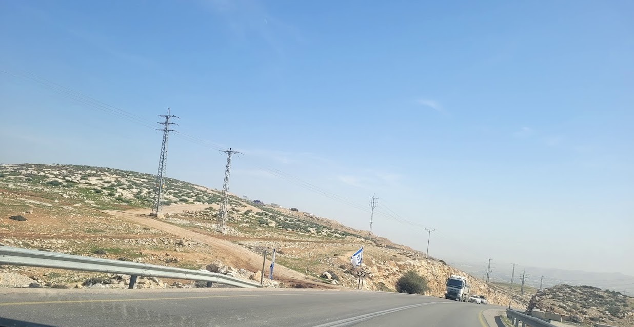 Anat TuegJan-25-2026Anata: A new outpost has been built south of the junction
-
