
‘Awarta, Beit Furik, Eliyahu Crossing, Habla, Mon 4.4.11, Afternoon
Habla
13:45 –
An armored vehicle with three soldiers and one woman soldier is on the patrol road. The Agricultural Gates are open and cars leave from the direction of Habla. A school bus, a horse-drawn cart and three pick-up trucks pass and one is detained. A big truck loaded with cartons that gets to the gate is not allowed to pass. The driver tries unsuccessfully to make a phone call on his cell-phone. A short while later a young man comes from the direction of the green-house close to the gate, claiming angrily that although everything was coordinated with the DCO beforehand, the truck is not allowed to pass and nobody there answers the calls. [DCO is the District Coordination Office of the IDF Civil Administration that handles passage permits.] He says he has arranged for a workman to come, paid IS 1000.00 and now the merchandise is delayed despite the fact that he passes this gate daily and everyone knows him. The woman soldier on her part tells him she is not his friend and he shouldn't shout at her. The man keeps explaining but eventually turns back and leaves, while the soldier says with a smile "The show is over, that's all for today".
14:20 –
The gates are closed and the truck plus two pick-up trucks remain on the other side of the fence.
We are on our way to Huwwarra and Ptahya explains the issue of the checkpoints to our guest.
Beit Furik
14:50 –
The checkpoint is empty of cars and people.
Awarta
15:00 –
There is no one on the streets and the shops are closed. Rainy weather.
15:30 –
At the checkpoint in the exit from Yiz'har two soldiers check three Palestinian cars.
16:00 –
At Eliyahu Gate the traffic is flowing
.
'Awarta
See all reports for this place-
Awarta, an internal checkpoint in the heart of the West Bank, is located east of the Hawara checkpoint, at the junction of Roads 555 (which was forbidden for Palestinian traffic in this area) and the entrance road to Nablus. It was one of the four checkpoints that surrounded Nablus until 2009. We used to watch it at Huwwara shifts because it was the only one where goods could be transferred to and from Nablus, using the back-to-back method. It was operated by the army, from 06:00 to 20:00. Until 2009.
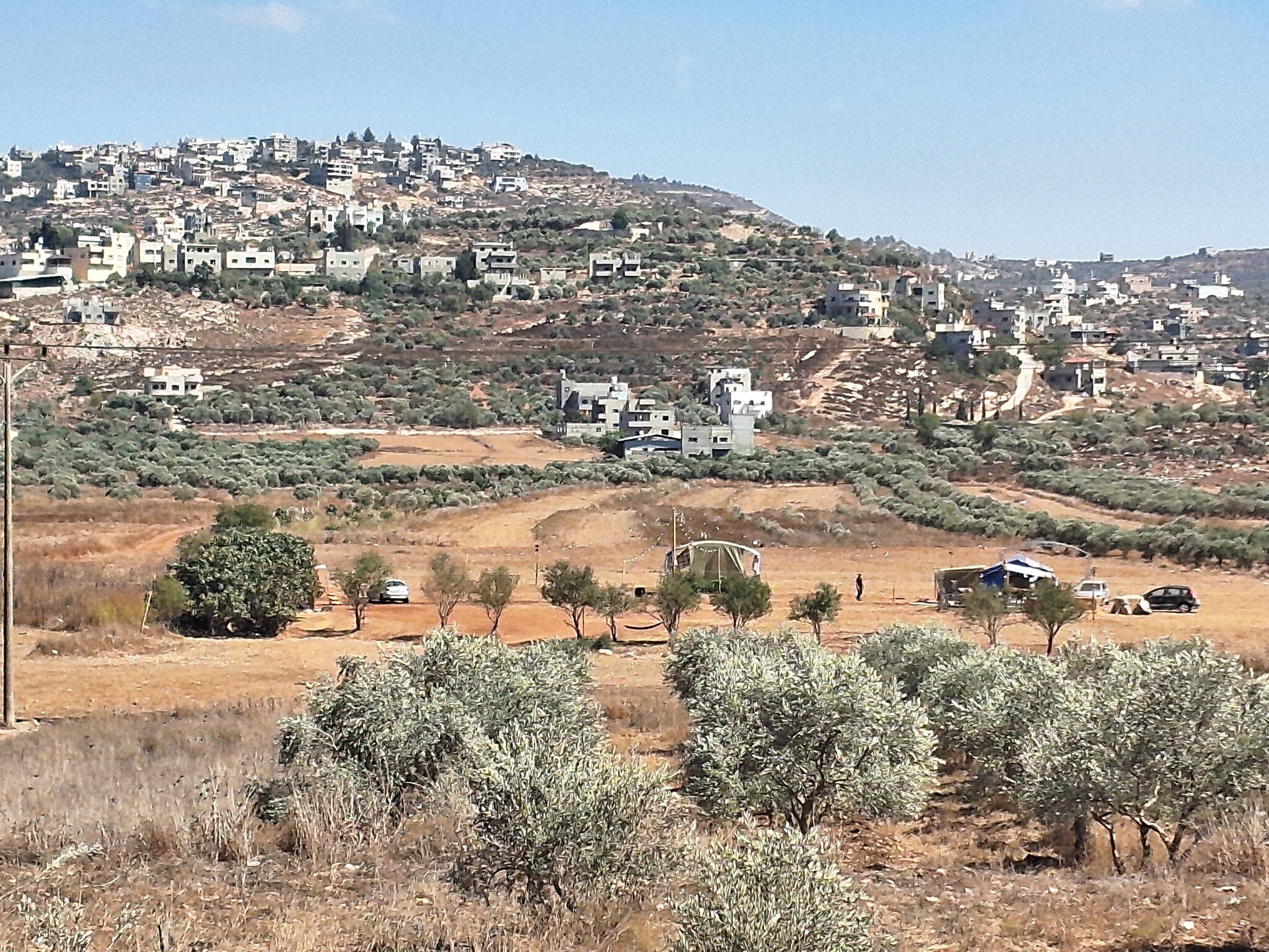 Ronit Dahan-RamatiSep-10-2026Awarta. Outpost below the town
-
Beit Furik checkpoint
See all reports for this place-
One of the three internal checkpoints that closed on the city of Nablus - Beit Furik to the east, Hawara to the south, Beit Iba to the west. The checkpoint is located at the junction of Roads 557 (an apartheid road that was forbidden for Palestinians), leading to the Itamar and Alon Morea settlements and Road 5487. The checkpoint was established in 2001 for pedestrians and vehicles; The opening hours were short and the transition was slow and very problematic.Allegedly, the checkpoint is intended to monitor the movement to and from Nablus of the residents of Beit Furik and Beit Dajan, being the only opening outside their villages. Since May 2009 the checkpoint is open 24 hours a day, the military presence is limited, vehicles can pass through it without inspections, except for random inspections. (Updated April 2010)
-
Eliyahu CP (109) / Crossing
See all reports for this place-
Eliyahu CP (109) / Crossing This checkpoint, also known as the Fruit Crossing, is one of the main checkpoints between Israel and the West Bank. It is located on Route 55 between Alfei Menashe and the turn to Qalqilya and Zufin, more than 4 km east of the Green Line, in the separation fence, which separates Qalqilya from its lands to the south, thus leaving Alfei Menashe West of the fence - the Seam Zone. This checkpoint, a few kilometers across the Green Line, is intended for "Israeli settlement in the West Bank and the population of the Seam Zone." It is managed by a civil company. Palestinians with a special permit for their lands in the seam area are also allowed to pass through it, on foot, and sometimes by car.
-
Habla
See all reports for this place-
Habla CP (1393)
The Habla checkpoint (1393) was established on the lands of the residents of Qalqilya, on the short road that
connected it for centuries to the nearby town of Habla. The separation barrier intersects this road twice and cut off the residents of Qalqilya from their lands in the seam zone.(between the fence and the green line).
There is a passage under Road 55 that connects Qalqilya to the sabotage This agricultural barrier is used by the farmers and nursery owners established along Road 55 from the Green Line and on both sides of the kurkar road leading to the checkpoint.
This agricultural checkpoint serves the residents of Arab a-Ramadin al-Janoubi (detached from the West Bank), who pass through it to the West Bank and back to their homes. The opening hours (3 times a day) of this agricultural checkpoint are longer than usual, about an hour (recently shortened to 45 minutes), and are coordinated with the transportation hours of a-Ramadin children studying in the occupied in the West Bank.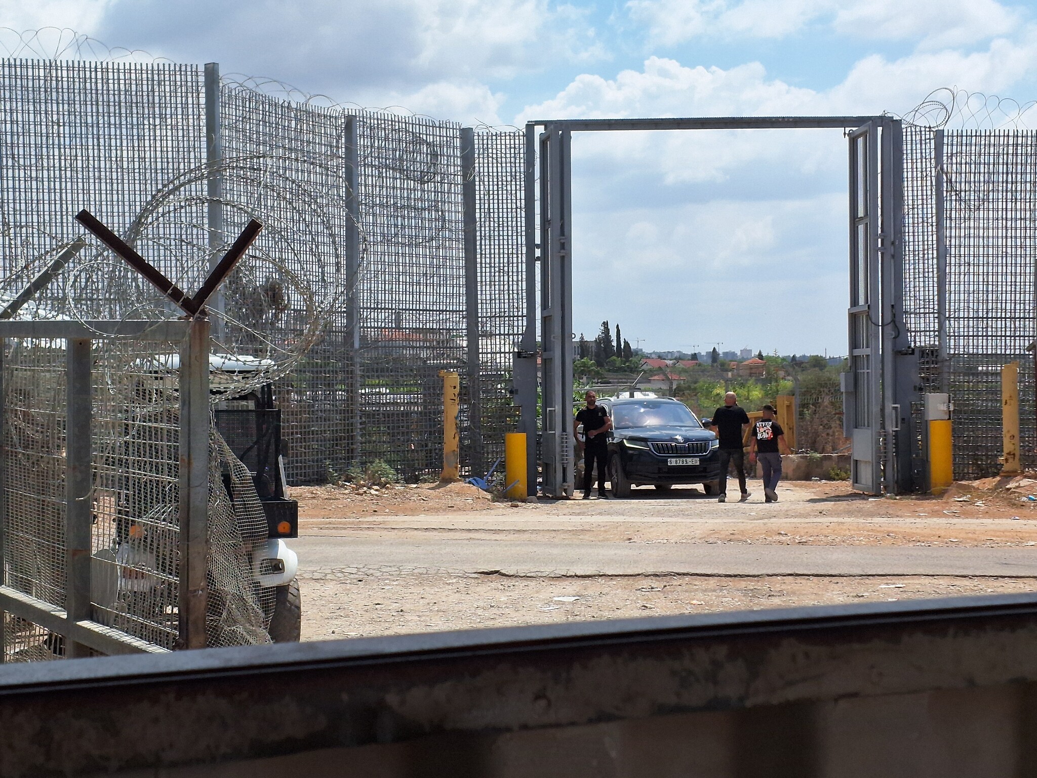 Ronit Dahan-RamatiAug-31-2026Habla. The gate is open
-
