
Hebron, South Hebron Hills, Sun 2.12.12, Morning
Translator: Charles K.
Sansana-Meitar crossing
The laborers had already gone through when we arrived at seven. The atmosphere on the Palestinian side was calm. An owner of a stand explained that Moti, the checkpoint manager, allows them to place the stands on a cement surface away from the road. They think well of him. They call him “Moti sweetie.”
Southern Hebron Hills
We continued on the road to Sousiya-Tawani (317), next to emplacement N.G. 840. A Kfir unit is stationed before the entrance to Area A1, stopping vehicles briefly. One was detained 40 minutes. An infant and three adults were inside. Apparently the inspection lasted a long time because the driver had once been caught for being in Israel illegally. “We’re used to it,” he said. “Today was easy; sometimes they make us get out…”, but he didn’t want to elaborate on what they go through. People turn around when they see the checkpoint. He told us that for years he hasn’t been able to access and cultivate his land because settlers from Mitzpeh Ya’ir don’t let him do so and throw rocks at him. The army protects the settlers. He complained to the police but they did nothing. Leah gave him the phone number of Yesh Din.
We took the road to Dahariyya to see for ourselves the graffiti left by “Price Tag” after burning a car. The photo I took didn’t come out well but a TV crew documented the graffiti and the burned car after the vandals had been caught.
Muhammad pointed out the rubble of a demolished building (cf. Hagit’s report from last week) that wasn’t accompanied by ”Price Tag”’s primitive calling card. Simply a legal demolition order. Where was the TV crew to film the demolition and the tent that went up? Anyway, who cares…
Hebron
Hebron is still Hebron. ‘Abed’s shop is closed. No sign of construction on the roof. He must have given up. Blue and white flags fly on Shuhada Street. We didn’t run into the international volunteers because we arrived after the children had entered the school. We noticed at the entrance to Kiryat Arba a poster of the Ben Ari-Eldad movement: “Let the army wipe them out,” with a translation into Arabic.
The ultimate hoodlum style.
Hebron
See all reports for this place-
According to Wye Plantation Accords (1997), Hebron is divided in two: H1 is under Palestinian Authority control, H2 is under Israeli control. In Hebron there are 170,000 Palestinian citizens, 60,000 of them in H2. Between the two areas are permanent checkpoints, manned at all hours, preventing Palestinian movement between them and controlling passage of permit holders such as teachers and schoolchildren. Some 800 Jews live in Avraham Avinu Quarter and Tel Rumeida, on Givat HaAvot and in the wholesale market.
Checkpoints observed in H2:
- Bet Hameriva CP- manned with a pillbox
- Kapisha quarter CP (the northern side of Zion axis) - manned with a pillbox
- The 160 turn CP (the southern side of Zion axis) - manned with a pillbox
- Avraham Avinu quarter - watch station
- The pharmacy CP - checking inside a caravan with a magnometer
- Tarpat (1929) CP - checking inside a caravan with a magnometer
- Tel Rumeida CP - guarding station
- Beit Hadassah CP - guarding station
Three checkpoints around the Tomb of the Patriarchs
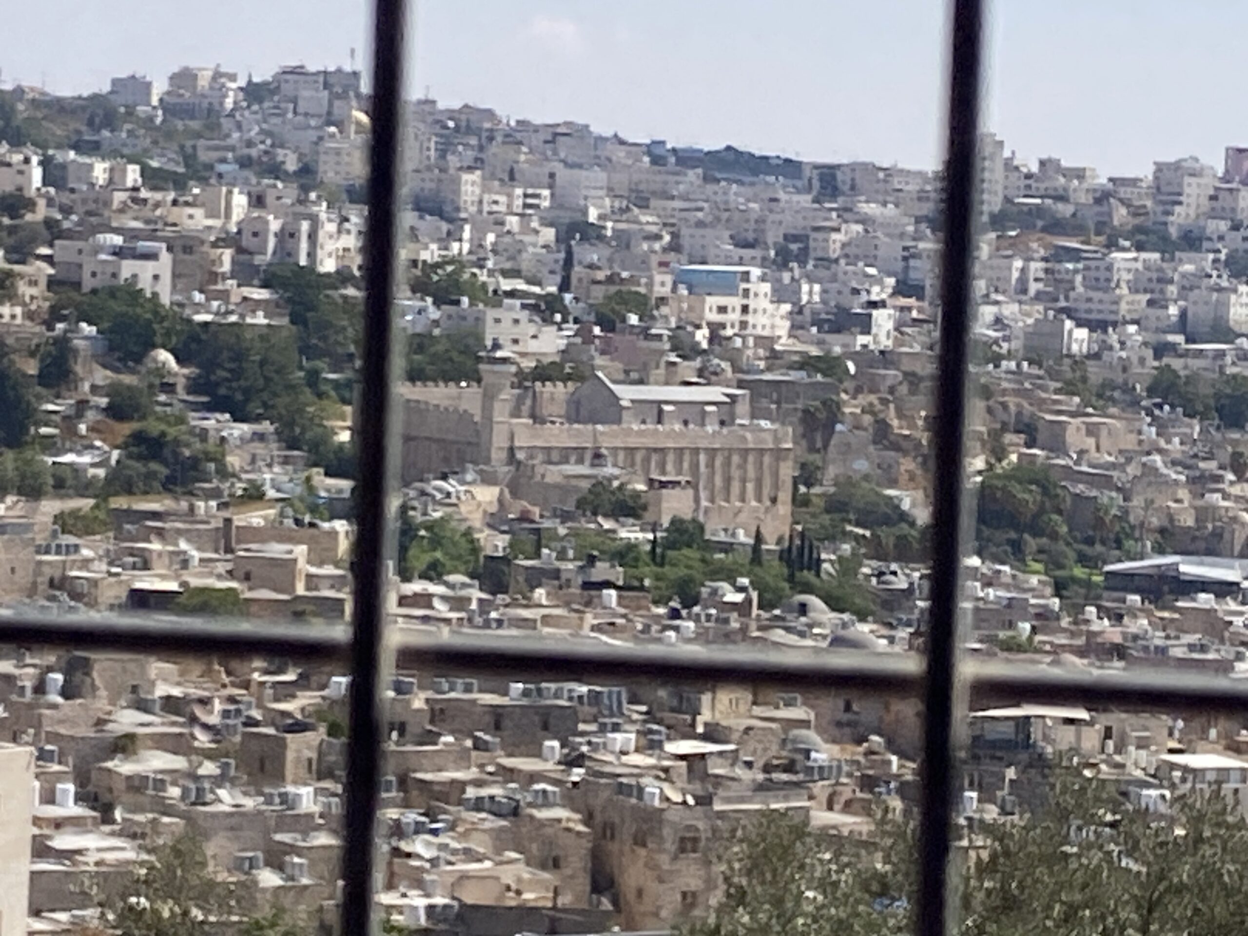 Yael ZoranSep-24-2026Hebron and the Cave of the Patriarchs from Beit Hashalom
-
South Hebron Hills
See all reports for this place-
South Hebron Hills
South Hebron Hills is a large area in the West Bank's southern part.
Yatta is a major city in this area: right in the border zone between the fertile region of Hebron and its surroundings and the desert of the Hebron Hills. Yatta has about 64,000 inhabitants.
The surrounding villages are called Masafer Yatta (Yatta's daughter villages). Their inhabitants subsist on livestock and agriculture. Agriculture is possible only in small plots, especially near streams. Most of the area consists of rocky terraces.Since the beginning of the 1980s, many settlements have been established on the agricultural land cultivated by the Palestinians in the South Hebron Hills region: Carmel, Maon, Susia, Masadot Yehuda, Othniel, and more. Since the settlements were established and Palestinians cultivation areas have been reduced; the residents of the South Hebron Hills have been suffering from harassment by the settlers. Attempts to evict and demolish houses have continued, along with withholding water and electricity. The military and police usually refrain from intervening in violent incidents between settlers and Palestinians do not enforce the law when it comes to the investigation of extensive violent Jewish settlers. The harassment in the South Hebron Hills includes attacking and attempting to burn residential tents, harassing dogs, harming herds, and preventing access to pastures.
There are several checkpoints in the South Hebron Hills, on Routes 317 and 60. In most of them, no military presence is apparent, but rather an array of pillboxes monitor the villages. Roadblocks are frequently set up according to the settlers and the army's needs. These are located at the Zif Junction, the Dura-al Fawwar crossing, and the Sheep Junction at the southern entrance to Hebron.
Updated April 2022
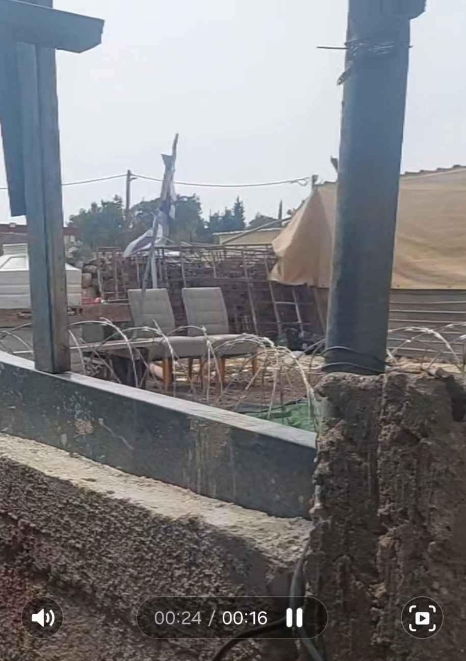 Michal TsadikOct-12-2026Umm al-Khair - Concertina wire and fences
-
