Hebron, South Hebron Hills, Tue 16.10.12, Morning
A 6:30 departure brings us without incident to Hebron, along Route 60, except for a few pedestrians.
The spy balloon floats in the sky, but looks different, more like a parachute with a tail. We wave.
At the entrance to Hebron a group of soldiers receives the daily orders. We head for the Beit Hameriva [House of Contention] which is silent behind its massive barricades of concrete. A lone soldier peers at us from the roof but we are not challenged. We wander across the checkpoint into H1 and look at the graves in the cemetery, then return but all is silent. Signs of renovation and building abound.
Our next stop is the Ibrahim mosque or Cave of Machpela were we disguise as tourists leaving our MW tags out. We visit the 7th step where the locals allowed Jews to pray until the 1967 war and subsequent Israeli occupation. A lone woman prays nearby. A large sign tells the history of the place. Hebron is full of reminders of the insults and injuries of the past that merge with the insults and injuries of the present. Inside, we discover what it is that the settlers do all day, or why they are mostly absent from the streets: they are praying. Two groups of men and young boys are deeply involved in the morning service. The women's section, a narrow corridor separated from the men by a wooden screen, peeping space only, is empty. The many inscriptions and decorations in Arabic calligraphy have not been obliterated but there has been an effort to minimize these by means of black velvet hangings embroidered in gold and silver with Hebrew inscriptions. A large sign in English tells of he exploits of the early settlers who managed to force their way down into the bowels of the cave, via a wall hung with "Arab" prayer rugs, and found remnants dating to the time of King Solomon. There is also the story of Moshe Dayan who let a 12 year old (Jewish) girl be lowered into a dark tunnel in an (unsuccesful) attempt to reach the holy dust. By and large the place is dirty and untidy and totally uninviting.
We try to enter the Muslim side but are prevented by the Border Police guards. Their officer tells us we can go in on the next Jewish holiday when only Jews are allowed in on the Muslim side as well. He confirms that there are some fine artifacts there.
After the obligatory tour of the town we leave for Bani Naim where the well-irrigated vineyard belonging to Menachem Livni, ex Jewish Underground, (on private Palestinian land) flourishes. The great yellow gates that protect the looted land are firmly closed. The sign denoting the entrance to Area A, and thus barred to Israelis, has been moved from the entrance to the town, where it belongs, to a point beyond the vineyard. All of this could not have happened without the active cooperation of the Civil Administration, the army and Israeli rule of law. So nothing new there.
…Things fall apart, the centre cannot hold
Mere anarchy is loosed upon the world..
The blood-dimmed tide is loosed, and every where
The ceremony of innocence is drowned.
The best lack all conviction while the worst are full of passionate intensity…
From Second Coming W B Yeats
Hebron
See all reports for this place-
According to Wye Plantation Accords (1997), Hebron is divided in two: H1 is under Palestinian Authority control, H2 is under Israeli control. In Hebron there are 170,000 Palestinian citizens, 60,000 of them in H2. Between the two areas are permanent checkpoints, manned at all hours, preventing Palestinian movement between them and controlling passage of permit holders such as teachers and schoolchildren. Some 800 Jews live in Avraham Avinu Quarter and Tel Rumeida, on Givat HaAvot and in the wholesale market.
Checkpoints observed in H2:
- Bet Hameriva CP- manned with a pillbox
- Kapisha quarter CP (the northern side of Zion axis) - manned with a pillbox
- The 160 turn CP (the southern side of Zion axis) - manned with a pillbox
- Avraham Avinu quarter - watch station
- The pharmacy CP - checking inside a caravan with a magnometer
- Tarpat (1929) CP - checking inside a caravan with a magnometer
- Tel Rumeida CP - guarding station
- Beit Hadassah CP - guarding station
Three checkpoints around the Tomb of the Patriarchs
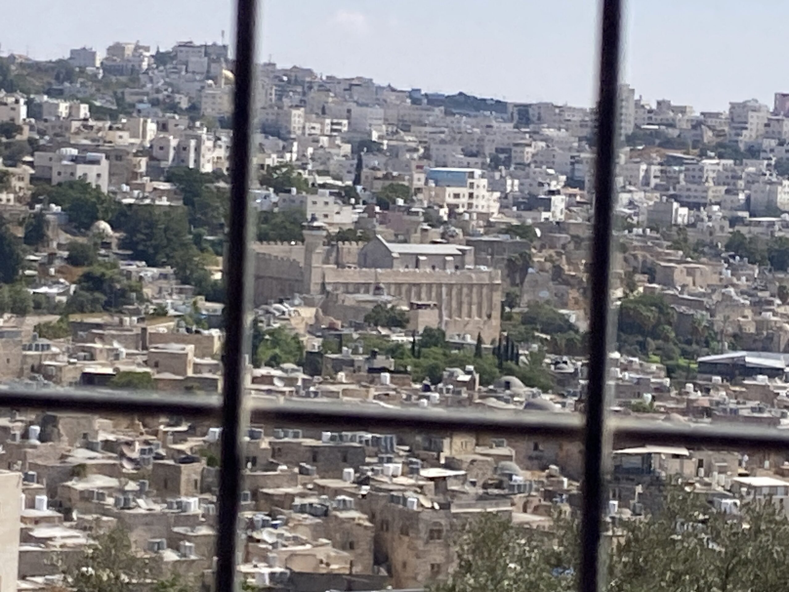 Yael ZoranSep-24-2026Hebron and the Cave of the Patriarchs from Beit Hashalom
-
South Hebron Hills
See all reports for this place-
South Hebron Hills
South Hebron Hills is a large area in the West Bank's southern part.
Yatta is a major city in this area: right in the border zone between the fertile region of Hebron and its surroundings and the desert of the Hebron Hills. Yatta has about 64,000 inhabitants.
The surrounding villages are called Masafer Yatta (Yatta's daughter villages). Their inhabitants subsist on livestock and agriculture. Agriculture is possible only in small plots, especially near streams. Most of the area consists of rocky terraces.Since the beginning of the 1980s, many settlements have been established on the agricultural land cultivated by the Palestinians in the South Hebron Hills region: Carmel, Maon, Susia, Masadot Yehuda, Othniel, and more. Since the settlements were established and Palestinians cultivation areas have been reduced; the residents of the South Hebron Hills have been suffering from harassment by the settlers. Attempts to evict and demolish houses have continued, along with withholding water and electricity. The military and police usually refrain from intervening in violent incidents between settlers and Palestinians do not enforce the law when it comes to the investigation of extensive violent Jewish settlers. The harassment in the South Hebron Hills includes attacking and attempting to burn residential tents, harassing dogs, harming herds, and preventing access to pastures.
There are several checkpoints in the South Hebron Hills, on Routes 317 and 60. In most of them, no military presence is apparent, but rather an array of pillboxes monitor the villages. Roadblocks are frequently set up according to the settlers and the army's needs. These are located at the Zif Junction, the Dura-al Fawwar crossing, and the Sheep Junction at the southern entrance to Hebron.
Updated April 2022
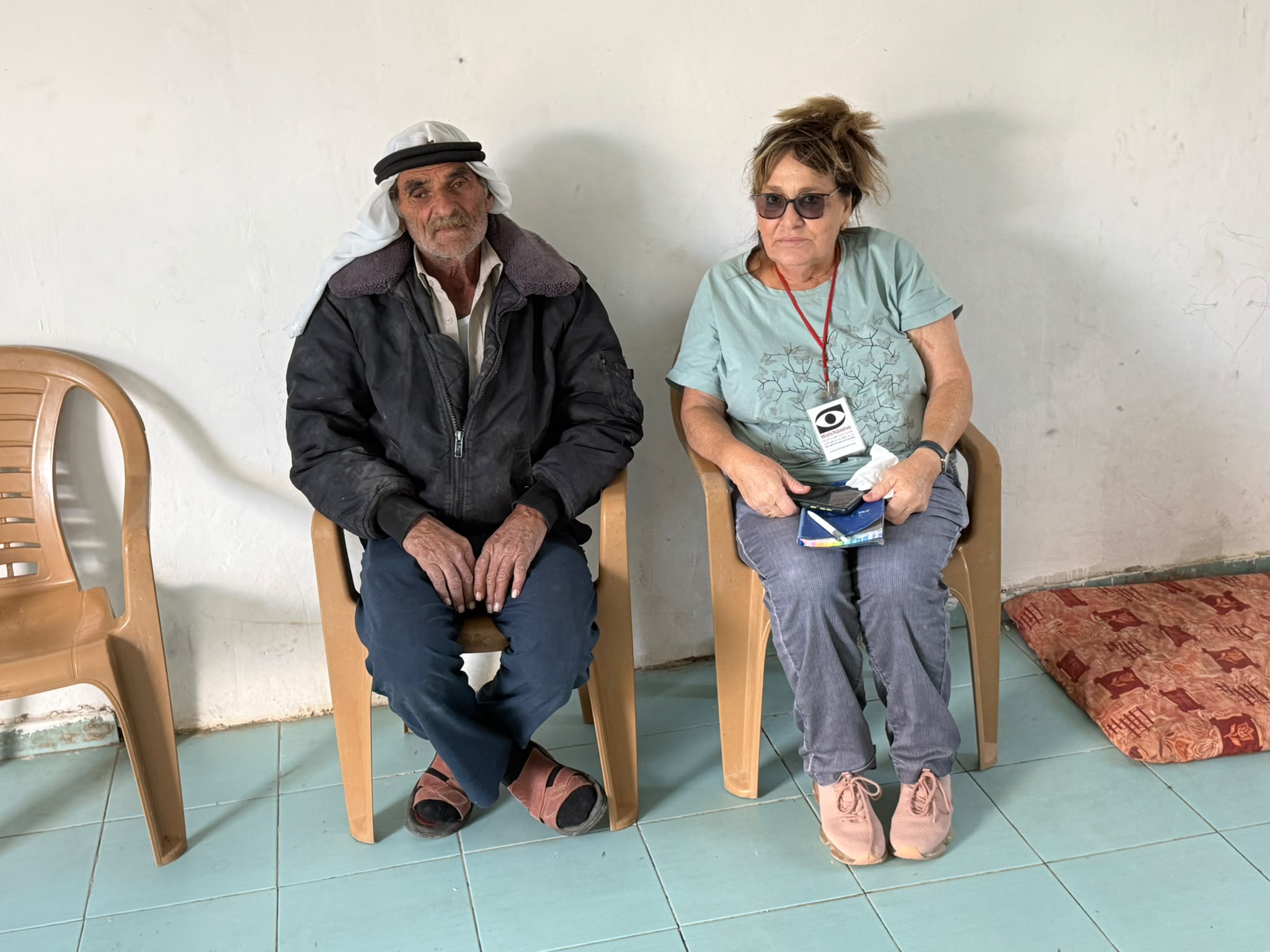 Muhammad D.Oct-29-2026Michal in Shaab Al-Butum with Ishaq Jabarin
-