
Route 60: partial list of roadblocks to the side roads
I haven’t visited the area since the beginning of October. Perhaps that’s why I was impressed by the changes: the hills from Meitar and north are painted fresh green, the plowed fields have a green stubble. White sheep were also observed chewing grass in two places. Muhammad claims that some of the fields were occupied by the settlers who now not only send the sheep to eat their crops but also raise crops themselves in those fields
The occupation exerts its burden now with almost complete blockades of the side roads. It is possible to distinguish different types of blockages, below is a partial list on Route 60
Dhahiriya – Besides the rock barrier at the entrance, a military vehicle is standing on the road and is ready to check pedestrians.

Karameh – the main asphalt road is open to cars.

Abda – the asphalt road on the western side is closed with piles of dirt that look new. The eastern side is closed and cameras have also been installed
Deir Razih – the asphalt road is open
Khursa – a checkpoint manned by soldiers who distinguish between Palestinians – forbidden to pass, and settlers who pass by in their vehicles on the way to and from Negohot.
Dura Al-Fawwar – each of the villages is closed by a metal gate. Between the villages, the people walk to the yellow taxis that will take them to Hebron on the internal roads.
The southern entrance to Hebron in front of Bani Na’im – the gate in the direction of Hebron and the exit are closed.
Qilqis Junction – The gates are closed on the Hebron side and on the Qilqis side, the goods from Hebron are transported in supermarket carts towards Qilqis.

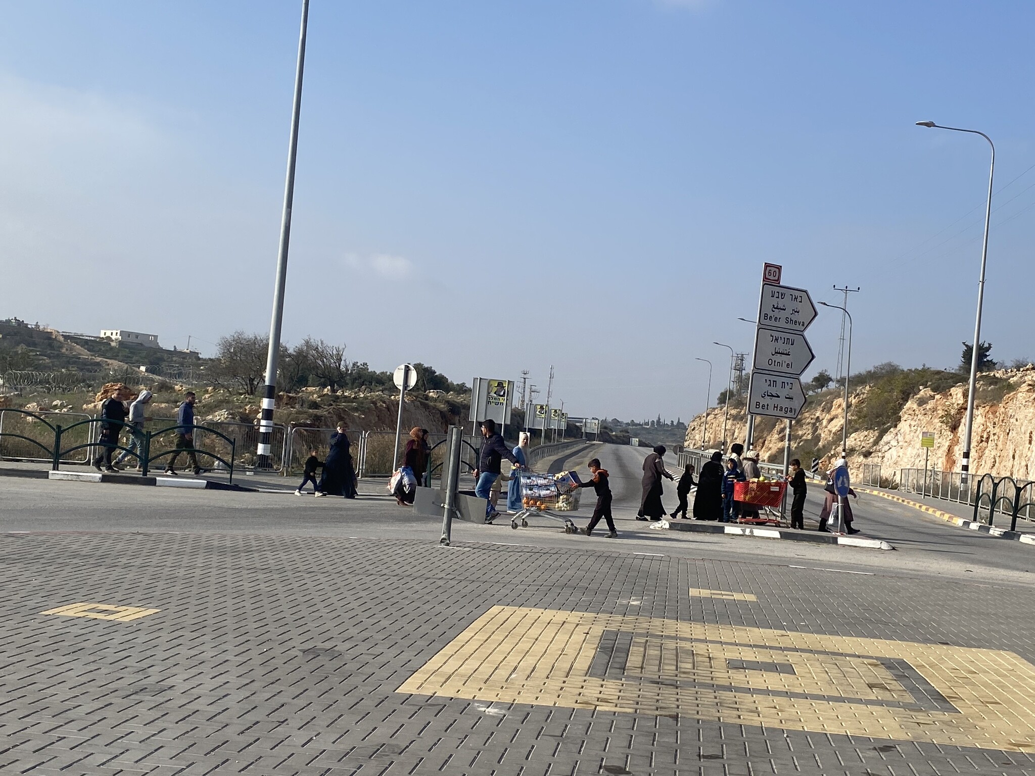
Hakvasim (the sheep) crossing – the road is blocked by large stones
Shuyukh, Sa’ir – both villages are closed by gates. On the Sa’ir side, 4 soldiers with weapons are monitoring pedestrian traffic. A narrow passage for pedestrians was assigned to the side of the checkpoint. It is so narrow that a wheelchair cannot pass through it, so the disabled person on the chair and the person carrying it had to bend down and pass under the gate.
We are not allowed to stop at the gate and therefore, in order to meet my friend Mohammed, we had to follow a back-to-back procedure – a handshake, a short conversation, transfer of money, and the guard who is guarding my back hurries me back to the road.
We went to bring bags of clothes to Aata who lives in a lonely house in Sa’ir, right in front of the entrance to Kiryat Arba. In the middle of the steep ascent to his house there is a stone block. – Abuse for its own sake.
Route 356
The road is deserted.
The phenomenon of blocking the side roads is also apparent here. Even the agricultural roads from the road to the field – are blocked by high mounds of dirt.
Zif junction – the yellow gate is closed,
The entrance to Tuwani is open, but on the other side of the road, the dirt road to Yatta is closed with stones. A group of elderly women make their way on foot, about two kilometers to Yatta.
In the Yehuda Farms area, Israeli flags by the side of the road. Probably signifying something to the Jewish National fund or another takeover by settlers.

Leaving through Meitar crossing – it’s amazing to see the parking lot on the Palestinian side of the checkpoint empty of vehicles.
Utterly dispiriting.
South Hebron Hills
See all reports for this place-
South Hebron Hills
South Hebron Hills is a large area in the West Bank's southern part.
Yatta is a major city in this area: right in the border zone between the fertile region of Hebron and its surroundings and the desert of the Hebron Hills. Yatta has about 64,000 inhabitants.
The surrounding villages are called Masafer Yatta (Yatta's daughter villages). Their inhabitants subsist on livestock and agriculture. Agriculture is possible only in small plots, especially near streams. Most of the area consists of rocky terraces.Since the beginning of the 1980s, many settlements have been established on the agricultural land cultivated by the Palestinians in the South Hebron Hills region: Carmel, Maon, Susia, Masadot Yehuda, Othniel, and more. Since the settlements were established and Palestinians cultivation areas have been reduced; the residents of the South Hebron Hills have been suffering from harassment by the settlers. Attempts to evict and demolish houses have continued, along with withholding water and electricity. The military and police usually refrain from intervening in violent incidents between settlers and Palestinians do not enforce the law when it comes to the investigation of extensive violent Jewish settlers. The harassment in the South Hebron Hills includes attacking and attempting to burn residential tents, harassing dogs, harming herds, and preventing access to pastures.
There are several checkpoints in the South Hebron Hills, on Routes 317 and 60. In most of them, no military presence is apparent, but rather an array of pillboxes monitor the villages. Roadblocks are frequently set up according to the settlers and the army's needs. These are located at the Zif Junction, the Dura-al Fawwar crossing, and the Sheep Junction at the southern entrance to Hebron.
Updated April 2022
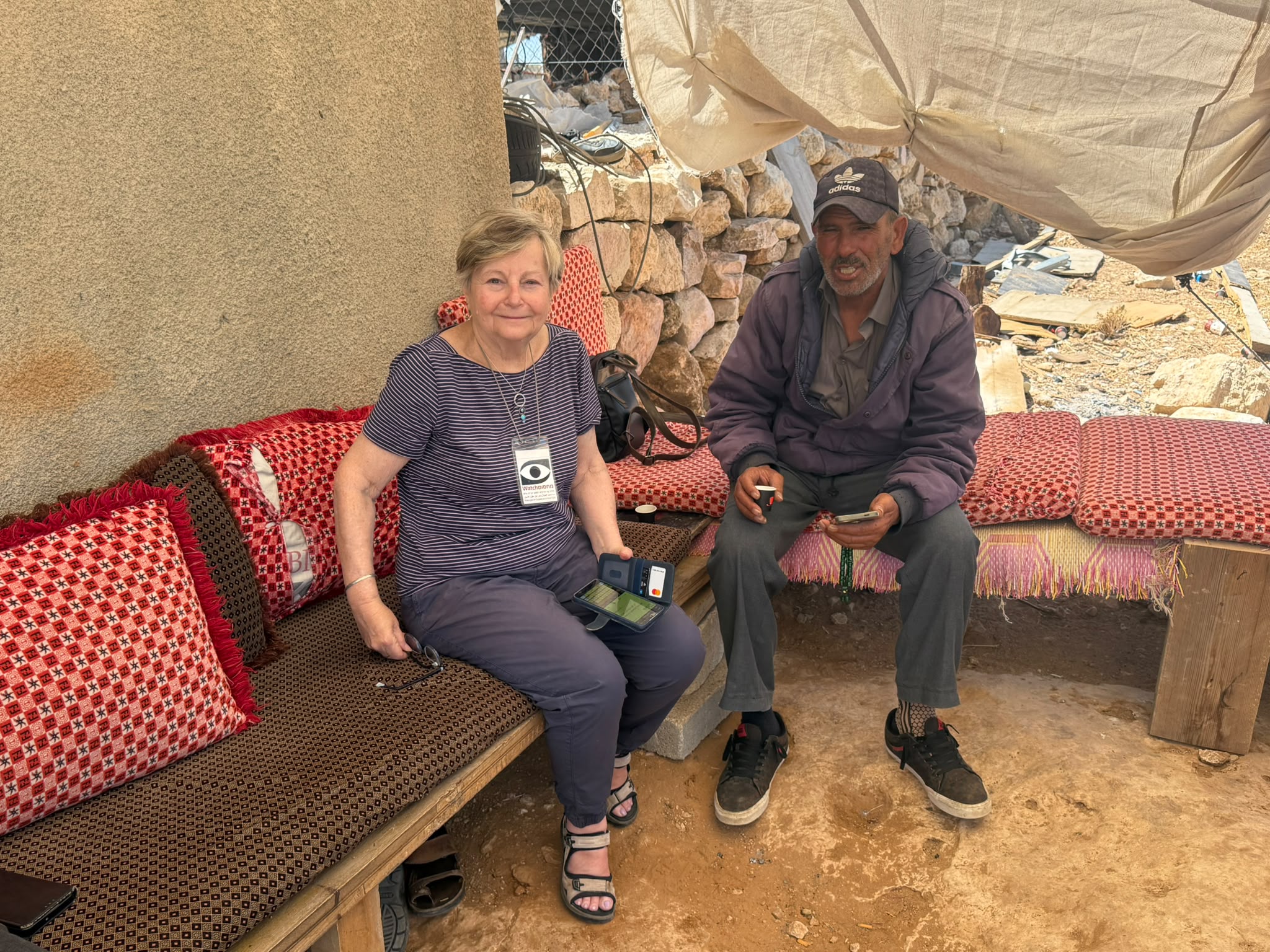 Muhammad D.Jul-12-2026Smadar with Taleb on duty at Qawawis
-