
South Hebron Hills

We passed the Negohot checkpoint, greeted the soldier and the woman soldier wishing them a good signature for the end of Yom Kippur when according to Jewish tradition our fate for the next year will be decided and entered. The entrance is to Jews only, if you are a Bedouin Arab or Christian, entrance is forbidden as on most settlements unless the Palestinian has a permit to work there.
Along the way a military jeep manned by 2 girls guarding the Palestinians in the olive harvest.
Next, the gate to ‘Beit Awa is closed and a number of soldiers passing through the fence roam freely inside Area A. which is supposed to be under Palestinian control…..”supposed”.
Inside Khursa near the pillbox the gate is locked. Yusef’s son from Khursa reported to us that this year the soldiers added checkpoints and meticulously inspected vehicles and residents exiting the village.
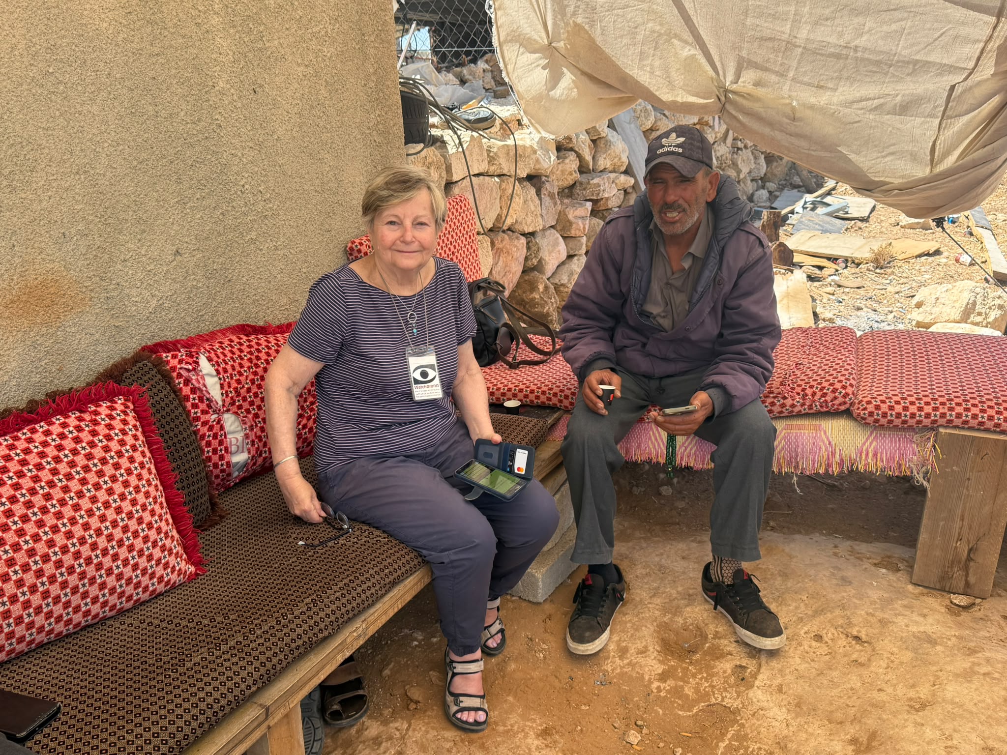
The photo shows the view and open spaces of the South Hebron area near a house of Ha ‘Awa.
Khursa / Al Marajem
See all reports for this place-
Khursa / Al Marajam
Khursa is a small village of about 2,500 inhabitants in Area A, on a hill on the way to Negohot settlement. At the end of September 2017, a pillbox watchtower was set up in the heart of the village, adjacent to the village's diwan, which is a sort of community center for celebrations such as weddings, or used as mourning tent. The army declared the place a closed military zone. In 2018, we saw another aggravation: a barrier of about 50 m, which divides the road into two, and a prohibition on passing vehicles, and then also a prohibition on pedestrians, who have to walk around on a dirt road - during winter on a mud road. Since the checkpoint was established, the army has required special permits to hold an event in Diwan and the permits must be requested at least two days in advance. Of course, the dying are not always cooperative ...together with the villagers we wondered what the meaning of this strange barrier in Area A, which is supposed to be under full control of the Palestinian Authority. Conclusion: It seems that in order to secure the way to the Negohot, the residents are forced to live with a closed military zone and a watchtower in the village center, and suffer many restrictions. (From Watch Checkpoint reports).
Recently, the Israeli authorities began, in the middle of the night, to pave a new bypass road from the nearby village Fuqeiqis to Negohot, Trying to establish facts and aiming to enlarge the settlement.
Updated in April 2021 by Anat T.
 Muhammad D.Jul-12-2026Smadar with Taleb on duty at Qawawis
-
South Hebron Hills
See all reports for this place-
South Hebron Hills
South Hebron Hills is a large area in the West Bank's southern part.
Yatta is a major city in this area: right in the border zone between the fertile region of Hebron and its surroundings and the desert of the Hebron Hills. Yatta has about 64,000 inhabitants.
The surrounding villages are called Masafer Yatta (Yatta's daughter villages). Their inhabitants subsist on livestock and agriculture. Agriculture is possible only in small plots, especially near streams. Most of the area consists of rocky terraces.Since the beginning of the 1980s, many settlements have been established on the agricultural land cultivated by the Palestinians in the South Hebron Hills region: Carmel, Maon, Susia, Masadot Yehuda, Othniel, and more. Since the settlements were established and Palestinians cultivation areas have been reduced; the residents of the South Hebron Hills have been suffering from harassment by the settlers. Attempts to evict and demolish houses have continued, along with withholding water and electricity. The military and police usually refrain from intervening in violent incidents between settlers and Palestinians do not enforce the law when it comes to the investigation of extensive violent Jewish settlers. The harassment in the South Hebron Hills includes attacking and attempting to burn residential tents, harassing dogs, harming herds, and preventing access to pastures.
There are several checkpoints in the South Hebron Hills, on Routes 317 and 60. In most of them, no military presence is apparent, but rather an array of pillboxes monitor the villages. Roadblocks are frequently set up according to the settlers and the army's needs. These are located at the Zif Junction, the Dura-al Fawwar crossing, and the Sheep Junction at the southern entrance to Hebron.
Updated April 2022
Muhammad D.Jul-12-2026Smadar with Taleb on duty at Qawawis
-